Pendle Hill Area, Pendle Hill Postcode(2145) & Map in Pendle Hill, Sydney - Parramatta, NSW
Pendle Hill Area, Pendle Hill Postcode(2145) & Map in Pendle Hill, Sydney - Parramatta, NSW, AU, Postcode: 2145
Pendle Hill, Pendle Hill - Girraween, Parramatta, Sydney - Parramatta, New South Wales, Australia, 2145
Pendle Hill Postcode
Area Name
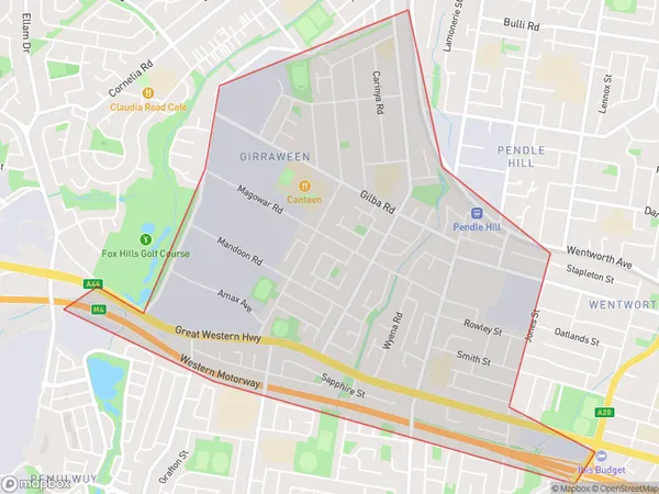
Pendle HillPendle Hill Suburb Area Map (Polygon)

Pendle Hill Introduction
Pendle Hill is a historic site in Sydney, Australia, and is a popular spot for hiking and picnicking. It is located in the western suburbs of Sydney and offers stunning views of the city skyline. The hill was also the site of a battle during the Second World War.State Name
City or Big Region
District or Regional Area
Suburb Name
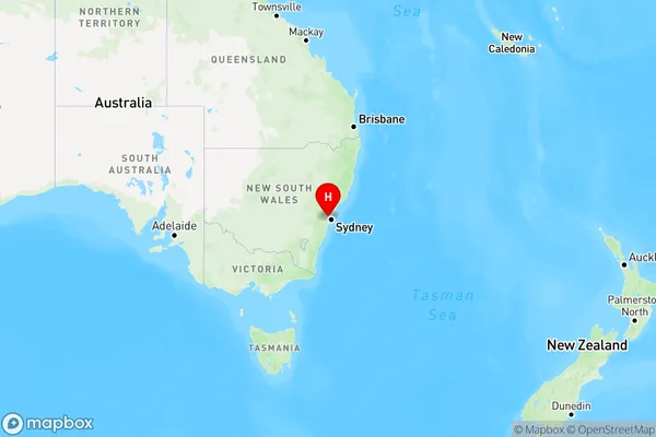
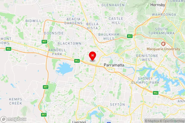
Pendle Hill Region Map

Country
Main Region in AU
R1Coordinates
-33.80739,150.95518 (latitude/longitude)Pendle Hill Area Map (Street)

Longitude
150.957425Latitude
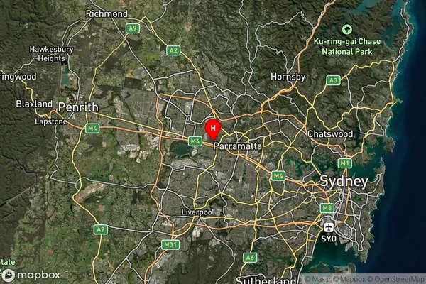
-33.813104Pendle Hill Suburb Map (Satellite)

Distances
The distance from Pendle Hill, Sydney - Parramatta, NSW to AU Greater Capital CitiesSA1 Code 2011
12504148850SA1 Code 2016
12504158811SA2 Code
125041588SA3 Code
12504SA4 Code
125RA 2011
1RA 2016
1MMM 2015
1MMM 2019
1Charge Zone
N1LGA Region
CumberlandLGA Code
12380Electorate
Parramatta