Camellia Area, Camellia Postcode(2142) & Map in Camellia, Sydney - Parramatta, NSW
Camellia Area, Camellia Postcode(2142) & Map in Camellia, Sydney - Parramatta, NSW, AU, Postcode: 2142
Camellia, Parramatta - Rosehill, Parramatta, Sydney - Parramatta, New South Wales, Australia, 2142
Camellia Postcode
Area Name
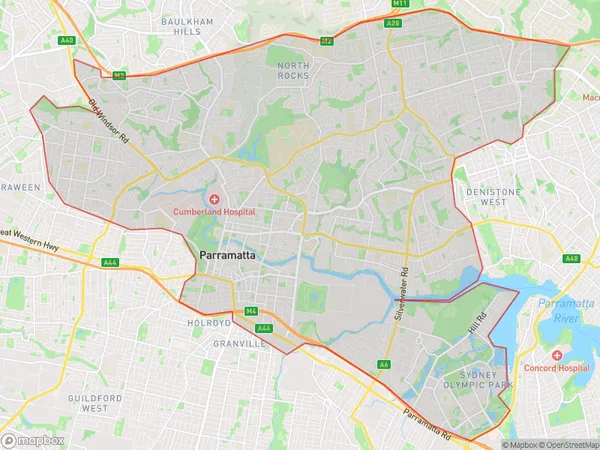
CamelliaCamellia Suburb Area Map (Polygon)

Camellia Introduction
Camellia is a heritage-listed former residence and now a restaurant located at 185-187 Macquarie Street, Parramatta, New South Wales, Australia. It was designed by John Horbury Hunt and built from 1886 to 1888. It is considered an outstanding example of Victorian-era architecture and is part of the Parramatta CBD Heritage Area. The restaurant offers a modern Australian cuisine with a focus on fresh, seasonal ingredients.State Name
City or Big Region
District or Regional Area
Suburb Name
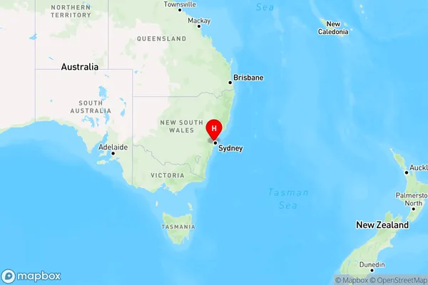
Camellia Region Map

Country
Main Region in AU
R1Coordinates
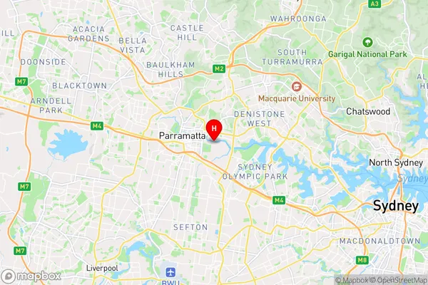
-33.8194143,151.0333082 (latitude/longitude)Camellia Area Map (Street)

Longitude
151.015196Latitude
-33.832747Camellia Elevation
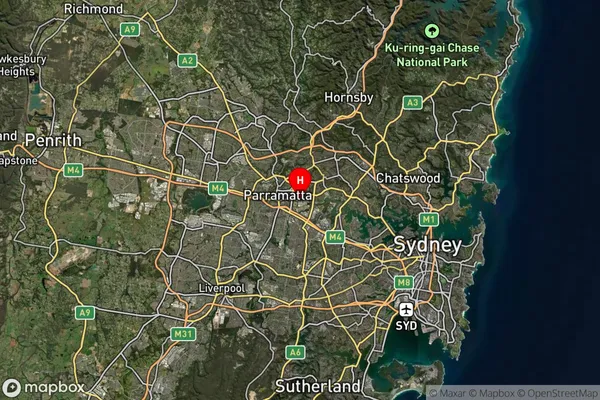
about 5.96 meters height above sea level (Altitude)Camellia Suburb Map (Satellite)

Distances
The distance from Camellia, Sydney - Parramatta, NSW to AU Greater Capital CitiesSA1 Code 2011
12504149210SA1 Code 2016
12504149210SA2 Code
125041492SA3 Code
12504SA4 Code
125RA 2011
1RA 2016
1MMM 2015
1MMM 2019
1Charge Zone
N1LGA Region
CumberlandLGA Code
12380Electorate
Parramatta