Murputja Homelands Area, Murputja Homelands Postcode(0872) & Map in Murputja Homelands, South Australia - Outback, NT
Murputja Homelands Area, Murputja Homelands Postcode(0872) & Map in Murputja Homelands, South Australia - Outback, NT, AU, Postcode: 0872
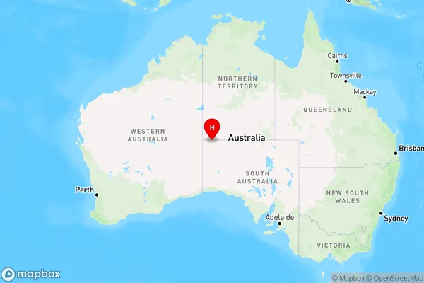
Murputja Homelands, APY Lands, Outback - North and East, South Australia - Outback, Northern Territory, Australia, 0872
Murputja Homelands Postcode
Area Name
Murputja HomelandsMurputja Homelands Suburb Area Map (Polygon)

Murputja Homelands Introduction
Murputja Homelands are located in South Australia and Northern Territory. They are the traditional lands of the Murputja people, who have a strong connection to the land and culture. The homelands cover an area of approximately 17,000 square kilometers and are home to a variety of flora and fauna. The region is also known for its stunning landscapes, including red dunes, rocky outcrops, and waterholes. The Murputja people have faced significant challenges, including loss of land, discrimination, and poverty. However, they continue to practice their culture and maintain their strong connection to the land.State Name
City or Big Region
District or Regional Area
Suburb Name
Murputja Homelands Region Map

Country
Main Region in AU
R1Coordinates
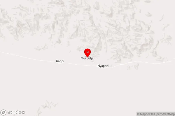
-26.1593,130.184 (latitude/longitude)Murputja Homelands Area Map (Street)

Longitude
131.298809Latitude
-21.949513Murputja Homelands Elevation
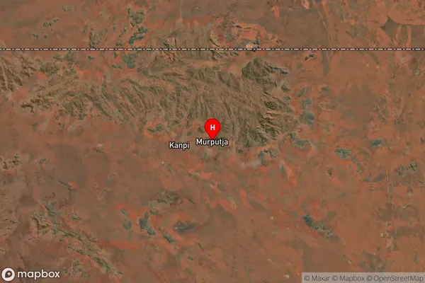
about 311.38 meters height above sea level (Altitude)Murputja Homelands Suburb Map (Satellite)

Distances
The distance from Murputja Homelands, South Australia - Outback, NT to AU Greater Capital CitiesSA1 Code 2011
40602113803SA1 Code 2016
40602113803SA2 Code
406021138SA3 Code
40602SA4 Code
406RA 2011
5RA 2016
5MMM 2015
7MMM 2019
7Charge Zone
NT1LGA Region
Central DesertLGA Code
70620Electorate
Lingiari