Cabarita Area, Cabarita Postcode(2137) & Map in Cabarita, Sydney - Inner West, NSW
Cabarita Area, Cabarita Postcode(2137) & Map in Cabarita, Sydney - Inner West, NSW, AU, Postcode: 2137
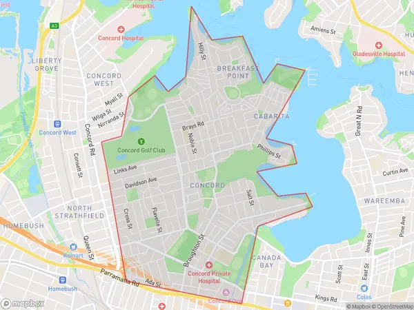
Cabarita, Concord - Mortlake - Cabarita, Canada Bay, Sydney - Inner West, New South Wales, Australia, 2137
Cabarita Postcode
Area Name
CabaritaCabarita Suburb Area Map (Polygon)
Cabarita Introduction
Cabarita is a suburb in Sydney's inner-west, 6 kilometres south of the CBD. It is part of the local government area of the Inner West Council. Cabarita is known for its rich cultural heritage and vibrant community. It is home to a number of historic buildings, including St Mary's Catholic Church and the Cabarita Park Cemetery. The suburb has a large population of immigrants, particularly from Latin America and the Philippines.State Name
City or Big Region
District or Regional Area
Suburb Name
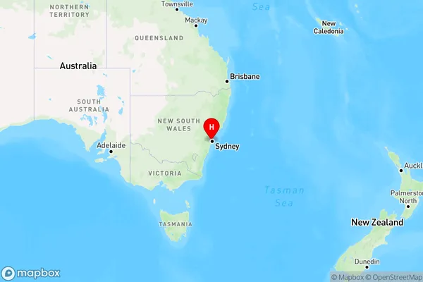
Cabarita Region Map
Country
Main Region in AU
R1Coordinates
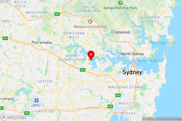
-33.84802,151.11485 (latitude/longitude)Cabarita Area Map (Street)
Longitude
151.103751Latitude
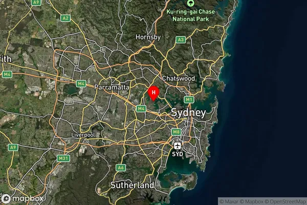
-33.85749Cabarita Suburb Map (Satellite)
Distances
The distance from Cabarita, Sydney - Inner West, NSW to AU Greater Capital CitiesSA1 Code 2011
12001138341SA1 Code 2016
12001138341SA2 Code
120011383SA3 Code
12001SA4 Code
120RA 2011
1RA 2016
1MMM 2015
1MMM 2019
1Charge Zone
N1LGA Region
Canada BayLGA Code
11520Electorate
Reid