Parramatta Area, Parramatta Postcode(2124) & Map in Parramatta, Sydney - Parramatta, NSW
Parramatta Area, Parramatta Postcode(2124) & Map in Parramatta, Sydney - Parramatta, NSW, AU, Postcode: 2124
Parramatta, Parramatta - Rosehill, Parramatta, Sydney - Parramatta, New South Wales, Australia, 2124
Parramatta Postcode
Area Name
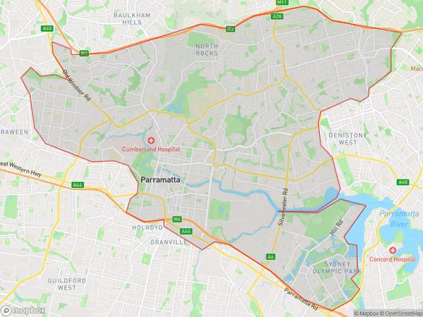
ParramattaParramatta Suburb Area Map (Polygon)
Parramatta Introduction
Parramatta is a suburb in western Sydney, Australia, and is the second-largest business district in the city. It is home to the Parramatta River and the Parramatta Stadium, and is a major transport hub for the region. The suburb is also known for its vibrant cultural scene, with numerous galleries, museums, and theatres.State Name
City or Big Region
District or Regional Area
Suburb Name
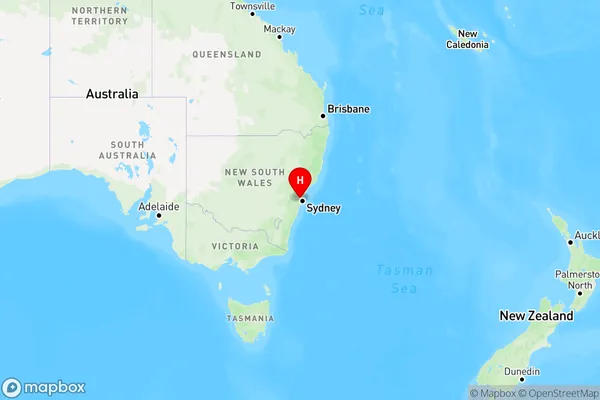
Parramatta Region Map
Country
Main Region in AU
R1Coordinates
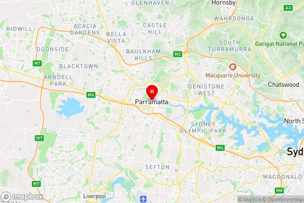
-33.8135571,151.003407 (latitude/longitude)Parramatta Area Map (Street)
Longitude
151.139472Latitude
-33.886166Parramatta Elevation
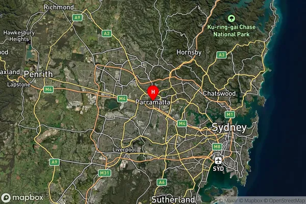
about 23.58 meters height above sea level (Altitude)Parramatta Suburb Map (Satellite)
Distances
The distance from Parramatta, Sydney - Parramatta, NSW to AU Greater Capital CitiesSA1 Code 2011
12504149251SA1 Code 2016
12504149251SA2 Code
125041492SA3 Code
12504SA4 Code
125RA 2011
1RA 2016
1MMM 2015
1MMM 2019
1Charge Zone
N1LGA Region
Inner WestLGA Code
14170Electorate
Watson