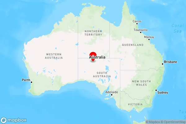
Indulkana Area, Indulkana Postcode(0872) & Map in Indulkana, South Australia - Outback, SA
Indulkana Area, Indulkana Postcode(0872) & Map in Indulkana, South Australia - Outback, SA, AU, Postcode: 0872
Indulkana, APY Lands, Outback - North and East, South Australia - Outback, South Australia, Australia, 0872
Indulkana Postcode
Area Name
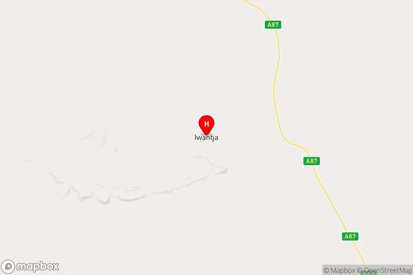
IndulkanaIndulkana Suburb Area Map (Polygon)

Indulkana Introduction
Indulkana is a small opal-mining town in South Australia's Northern Territory. It is located in the Northern Territory's Gibson Desert region, 125 miles northeast of the nearest large town, Alice Springs. The town is named after the nearby Indulkana Rock, which is a significant opal-bearing formation. The town has a population of around 200 people and is a popular stop for tourists traveling to the Northern Territory's opal fields.State Name
City or Big Region
District or Regional Area
Suburb Name
Indulkana Region Map

Country
Main Region in AU
R1Coordinates
-26.9661,133.308 (latitude/longitude)Indulkana Area Map (Street)

Longitude
131.298809Latitude
-21.949513Indulkana Elevation
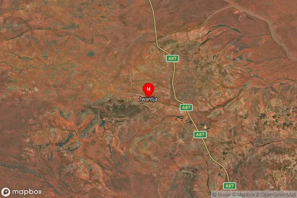
about 311.38 meters height above sea level (Altitude)Indulkana Suburb Map (Satellite)

Distances
The distance from Indulkana, South Australia - Outback, SA to AU Greater Capital CitiesSA1 Code 2011
40602113816SA1 Code 2016
40602113816SA2 Code
406021138SA3 Code
40602SA4 Code
406RA 2011
5RA 2016
5MMM 2015
7MMM 2019
7Charge Zone
NT1LGA Region
Anangu Pitjantjatjara YunkunytjatjaraLGA Code
40250Electorate
Lingiari