Ridgeway Area, Ridgeway Postcode(2620) & Map in Ridgeway, Capital Region, NSW
Ridgeway Area, Ridgeway Postcode(2620) & Map in Ridgeway, Capital Region, NSW, AU, Postcode: 2620
Ridgeway, Queanbeyan - East, Queanbeyan, Capital Region, New South Wales, Australia, 2620
Ridgeway Postcode
Area Name
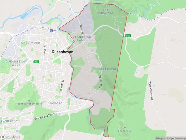
RidgewayRidgeway Suburb Area Map (Polygon)

Ridgeway Introduction
Ridgeway is a suburb in the City of Wagga Wagga, located in the Riverina region of New South Wales, Australia. It is situated approximately 65 kilometers south-west of the state capital, Sydney, and 35 kilometers north-west of Wagga Wagga. The suburb is named after the Ridgeway Range, which forms its western boundary. Ridgeway is a primarily residential area with a mix of single-family homes and apartments. It has a local shopping center, a primary school, and a community hall. The suburb is also home to a number of sporting facilities, including a cricket club, an athletics track, and a golf course.State Name
City or Big Region
District or Regional Area
Suburb Name
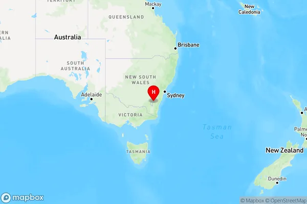
Ridgeway Region Map

Country
Main Region in AU
R3Coordinates
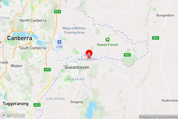
-35.338,149.262 (latitude/longitude)Ridgeway Area Map (Street)

Longitude
149.257101Latitude
-35.317402Ridgeway Elevation
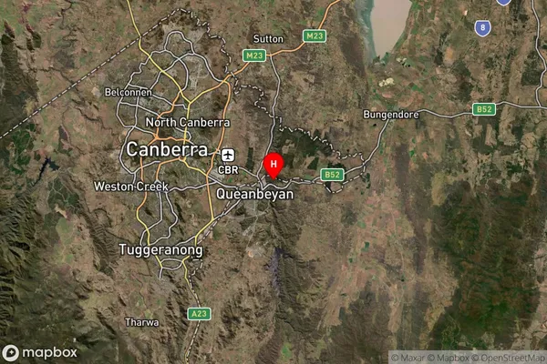
about 704.04 meters height above sea level (Altitude)Ridgeway Suburb Map (Satellite)

Distances
The distance from Ridgeway, Capital Region, NSW to AU Greater Capital CitiesSA1 Code 2011
10102101014SA1 Code 2016
10102101014SA2 Code
101021010SA3 Code
10102SA4 Code
101RA 2011
1RA 2016
1MMM 2015
1MMM 2019
1Charge Zone
N2LGA Region
Queanbeyan-Palerang RegionalLGA Code
16490Electorate
Eden-Monaro