Albury Area, Albury Postcode(2640) & Map in Albury, Murray, NSW
Albury Area, Albury Postcode(2640) & Map in Albury, Murray, NSW, AU, Postcode: 2640
Albury, Albury - South, Albury, Murray, New South Wales, Australia, 2640
Albury Postcode
Area Name
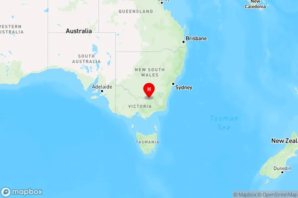
AlburyAlbury Suburb Area Map (Polygon)

Albury Introduction
Albury is a city in the Murray River region of New South Wales, Australia. It is located on the border of Victoria and NSW and is known for its rich history, stunning natural beauty, and vibrant cultural scene. The city is home to a number of important historical sites, including the Albury Wodonga Historical Museum and the National Trust-listed Albury Courthouse. It is also a popular destination for outdoor activities, with numerous parks and gardens, including the Botanic Gardens and the Murray River.State Name
City or Big Region
District or Regional Area
Suburb Name
Albury Region Map

Country
Main Region in AU
R3Coordinates
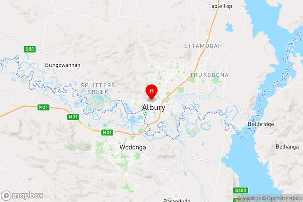
-36.0737293,146.9135418 (latitude/longitude)Albury Area Map (Street)

Longitude
147.026549Latitude
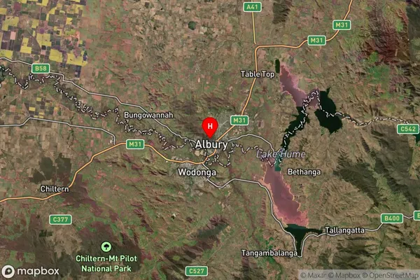
-36.016196Albury Suburb Map (Satellite)

Distances
The distance from Albury, Murray, NSW to AU Greater Capital CitiesSA1 Code 2011
10901117428SA1 Code 2016
10901117428SA2 Code
109011174SA3 Code
10901SA4 Code
109RA 2011
2RA 2016
2MMM 2015
2MMM 2019
2Charge Zone
V2LGA Region
AlburyLGA Code
10050Electorate
Farrer