Corlette Area, Corlette Postcode(2315) & Map in Corlette, Hunter Valley exc Newcastle, NSW
Corlette Area, Corlette Postcode(2315) & Map in Corlette, Hunter Valley exc Newcastle, NSW, AU, Postcode: 2315
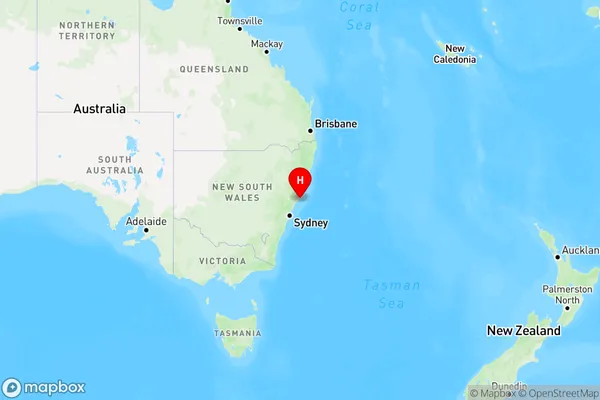
Corlette, Nelson Bay Peninsula, Port Stephens, Hunter Valley exc Newcastle, New South Wales, Australia, 2315
Corlette Postcode
Area Name
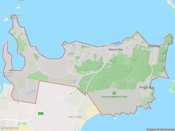
CorletteCorlette Suburb Area Map (Polygon)

Corlette Introduction
Corlette is a suburb of Newcastle, New South Wales, Australia. It is located on the southern side of the Hunter River, approximately 10 kilometers south of Newcastle's central business district. The suburb has a population of around 3,500 people and is known for its historic homes, peaceful atmosphere, and scenic surroundings. Corlette is surrounded by beautiful parks and reserves, including the Corlette Reserve and the Bouddi National Park. It is also home to a variety of shops, cafes, and restaurants, making it a popular destination for locals and visitors alike.State Name
City or Big Region
District or Regional Area
Suburb Name
Corlette Region Map

Country
Main Region in AU
R3Coordinates
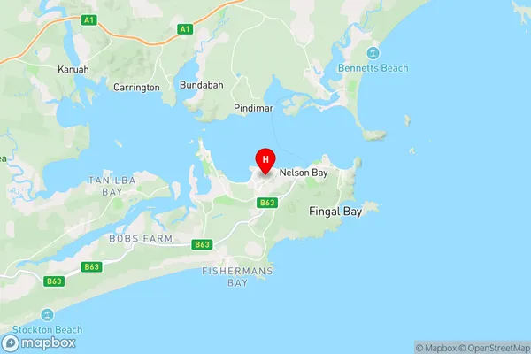
-32.724722,152.114722 (latitude/longitude)Corlette Area Map (Street)

Longitude
152.193698Latitude
-32.746224Corlette Elevation
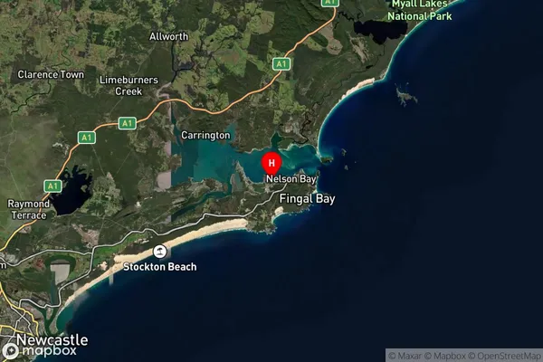
about 29.28 meters height above sea level (Altitude)Corlette Suburb Map (Satellite)

Distances
The distance from Corlette, Hunter Valley exc Newcastle, NSW to AU Greater Capital CitiesSA1 Code 2011
10603112135SA1 Code 2016
10603112135SA2 Code
106031121SA3 Code
10603SA4 Code
106RA 2011
2RA 2016
2MMM 2015
4MMM 2019
4Charge Zone
N2LGA Region
Port StephensLGA Code
16400Electorate
Paterson