Mayfield East Area, Mayfield East Postcode(2304) & Map in Mayfield East, Newcastle and Lake Macquarie, NSW
Mayfield East Area, Mayfield East Postcode(2304) & Map in Mayfield East, Newcastle and Lake Macquarie, NSW, AU, Postcode: 2304
Mayfield East, Mayfield - Warabrook, Newcastle, Newcastle and Lake Macquarie, New South Wales, Australia, 2304
Mayfield East Postcode
Area Name
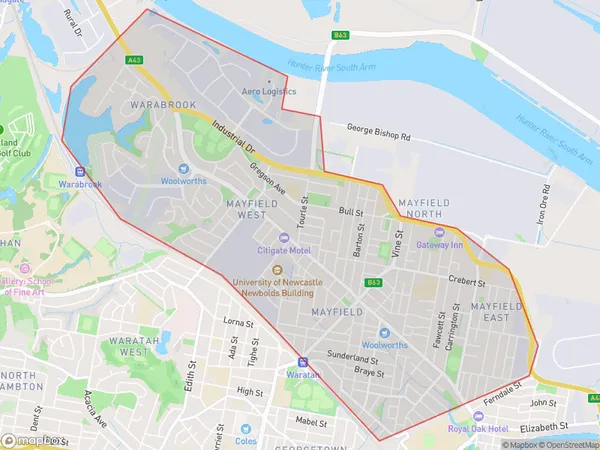
Mayfield EastMayfield East Suburb Area Map (Polygon)

Mayfield East Introduction
Mayfield East is a suburb in the City of Newcastle, New South Wales, Australia. It is located 11 kilometers east of Newcastle's central business district and is part of the Greater Newcastle region. The suburb is named after the Mayfield railway station, which was opened on 1 October 1888. Mayfield East is a primarily residential area with a mix of single-family homes, apartments, and townhouses. It has a number of parks and recreational facilities, including the Mayfield Sports Complex and the Mayfield Public Golf Course. The suburb is also home to a number of major businesses and industries, including the Newcastle Airport and the Hunter Region Medical Research Institute.State Name
City or Big Region
District or Regional Area
Suburb Name
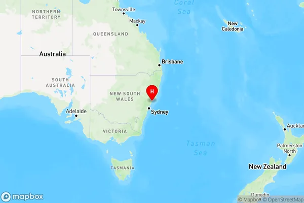
Mayfield East Region Map

Country
Main Region in AU
R2Coordinates
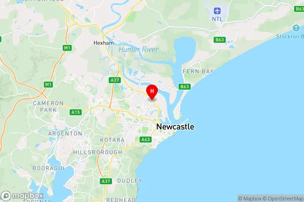
-32.898,151.75 (latitude/longitude)Mayfield East Area Map (Street)

Longitude
151.73862Latitude
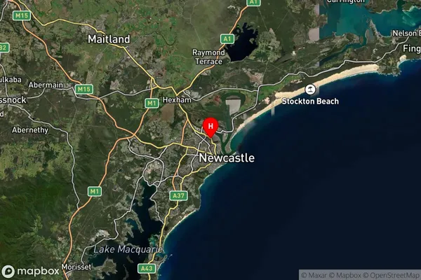
-32.880319Mayfield East Suburb Map (Satellite)

Distances
The distance from Mayfield East, Newcastle and Lake Macquarie, NSW to AU Greater Capital CitiesSA1 Code 2011
11103122736SA1 Code 2016
11103122736SA2 Code
111031227SA3 Code
11103SA4 Code
111RA 2011
1RA 2016
1MMM 2015
1MMM 2019
1Charge Zone
N2LGA Region
NewcastleLGA Code
15900Electorate
Newcastle