Newcastle Area, Newcastle Postcode(2300) & Map in Newcastle, Newcastle and Lake Macquarie, NSW
Newcastle Area, Newcastle Postcode(2300) & Map in Newcastle, Newcastle and Lake Macquarie, NSW, AU, Postcode: 2300
Newcastle, Newcastle - Cooks Hill, Newcastle, Newcastle and Lake Macquarie, New South Wales, Australia, 2300
Newcastle Postcode
Area Name
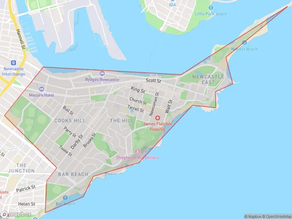
NewcastleNewcastle Suburb Area Map (Polygon)

Newcastle Introduction
Newcastle is a city in the Hunter Region of New South Wales, Australia. It is the second-largest city in the Hunter Region and the fourth-largest city in New South Wales. The city is located on the Hunter River and is approximately 165 kilometers (103 miles) northeast of Sydney. Newcastle is known for its coal exports, steel manufacturing, and port facilities. It is also home to the Newcastle Jets soccer team and the Newcastle Knights rugby league team.State Name
City or Big Region
District or Regional Area
Suburb Name
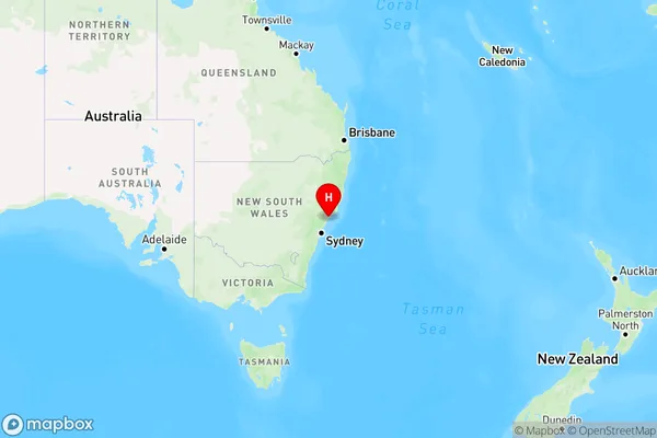
Newcastle Region Map

Country
Main Region in AU
R2Coordinates
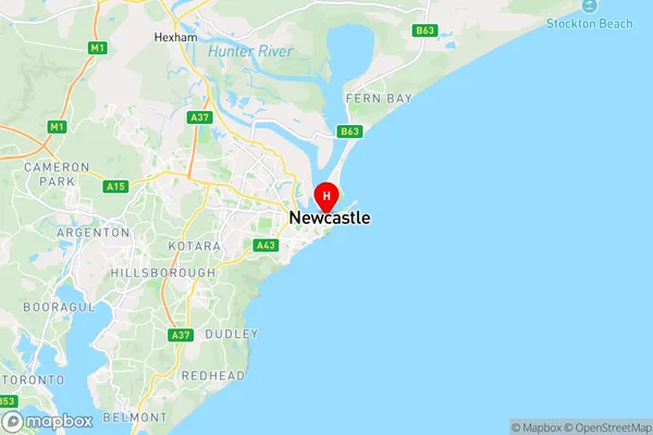
-32.9272155,151.7795013 (latitude/longitude)Newcastle Area Map (Street)

Longitude
151.778021Latitude
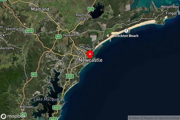
-32.931635Newcastle Suburb Map (Satellite)

Distances
The distance from Newcastle, Newcastle and Lake Macquarie, NSW to AU Greater Capital CitiesSA1 Code 2011
11103122905SA1 Code 2016
11103122905SA2 Code
111031229SA3 Code
11103SA4 Code
111RA 2011
1RA 2016
1MMM 2015
1MMM 2019
1Charge Zone
N2LGA Region
NewcastleLGA Code
15900Electorate
Newcastle