Carrington Area, Carrington Postcode(2324) & Map in Carrington, Hunter Valley exc Newcastle, NSW
Carrington Area, Carrington Postcode(2324) & Map in Carrington, Hunter Valley exc Newcastle, NSW, AU, Postcode: 2324
Carrington, Tea Gardens - Hawks Nest, Port Stephens, Hunter Valley exc Newcastle, New South Wales, Australia, 2324
Carrington Postcode
Area Name
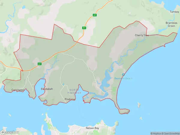
CarringtonCarrington Suburb Area Map (Polygon)

Carrington Introduction
Carrington is a small township located in the Hunter Valley region of New South Wales, Australia. It is situated approximately 125 kilometers north-east of Newcastle and 25 kilometers south-west of Maitland. The town is known for its coal mining industry, which played a significant role in its development during the 19th and 20th centuries. Today, Carrington is a popular tourist destination, with visitors coming to explore the historic coal mines and enjoy the scenic surroundings of the Hunter Valley.State Name
City or Big Region
District or Regional Area
Suburb Name
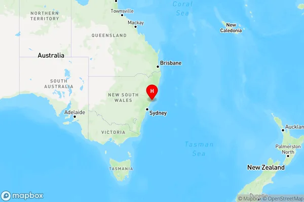
Carrington Region Map

Country
Main Region in AU
R3Coordinates
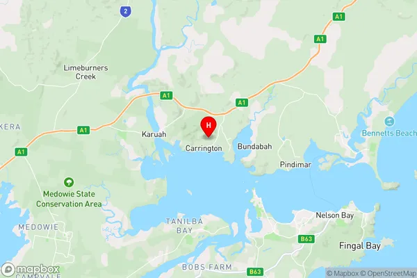
-32.6584392,152.0194544 (latitude/longitude)Carrington Area Map (Street)

Longitude
152.332617Latitude
-32.623108Carrington Elevation
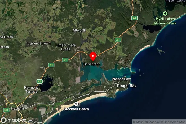
about 21.19 meters height above sea level (Altitude)Carrington Suburb Map (Satellite)

Distances
The distance from Carrington, Hunter Valley exc Newcastle, NSW to AU Greater Capital CitiesSA1 Code 2011
10603112402SA1 Code 2016
10603112402SA2 Code
106031124SA3 Code
10603SA4 Code
106RA 2011
2RA 2016
2MMM 2015
5MMM 2019
5Charge Zone
N2LGA Region
Port StephensLGA Code
16400Electorate
Paterson