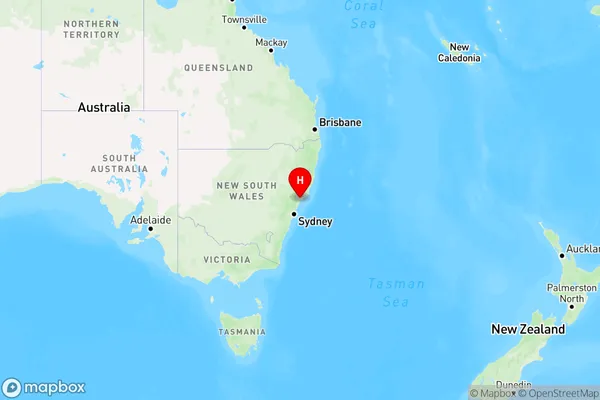
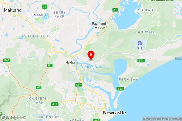
Tomago Area, Tomago Postcode(2322) & Map in Tomago, Hunter Valley exc Newcastle, NSW
Tomago Area, Tomago Postcode(2322) & Map in Tomago, Hunter Valley exc Newcastle, NSW, AU, Postcode: 2322
Tomago, Raymond Terrace, Port Stephens, Hunter Valley exc Newcastle, New South Wales, Australia, 2322
Tomago Postcode
Area Name
TomagoTomago Suburb Area Map (Polygon)

Tomago Introduction
Tomago is a historic coal mining town located in the Hunter Valley region of New South Wales, Australia. It was established in the 1860s and was once a major hub for the coal industry. The town is known for its picturesque scenery, including the Tomago Dam and the surrounding mountains. Today, Tomago is a popular tourist destination and a thriving community with a rich heritage.State Name
City or Big Region
District or Regional Area
Suburb Name
Tomago Region Map

Country
Main Region in AU
R3Coordinates
-32.8278598,151.7283347 (latitude/longitude)Tomago Area Map (Street)

Longitude
151.65415Latitude
-32.8198190Tomago Suburb Map (Satellite)

Distances
The distance from Tomago, Hunter Valley exc Newcastle, NSW to AU Greater Capital CitiesSA1 Code 2011
10603112202SA1 Code 2016
10603112202SA2 Code
106031122SA3 Code
10603SA4 Code
106RA 2011
1RA 2016
1MMM 2015
1MMM 2019
1Charge Zone
N2LGA Region
NewcastleLGA Code
15900Electorate
Paterson