Mccullys Gap Area, Mccullys Gap Postcode(2333) & Map in Mccullys Gap, Hunter Valley exc Newcastle, NSW
Mccullys Gap Area, Mccullys Gap Postcode(2333) & Map in Mccullys Gap, Hunter Valley exc Newcastle, NSW, AU, Postcode: 2333
Mccullys Gap, Muswellbrook Region, Upper Hunter, Hunter Valley exc Newcastle, New South Wales, Australia, 2333
Mccullys Gap Postcode
Area Name
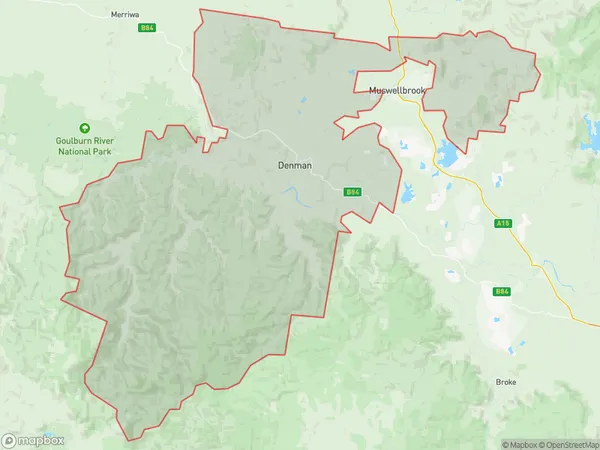
Mccullys GapMccullys Gap Suburb Area Map (Polygon)

Mccullys Gap Introduction
Mccullys Gap is a mountain pass in the Hunter Region of New South Wales, Australia, located between the towns of Kurri Kurri and Muswellbrook. It is part of the Great Dividing Range and is a popular hiking and camping destination. The pass offers stunning views of the surrounding countryside and is a popular spot for photography.State Name
City or Big Region
District or Regional Area
Suburb Name
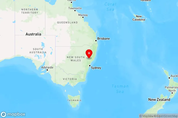
Mccullys Gap Region Map

Country
Main Region in AU
R3Coordinates
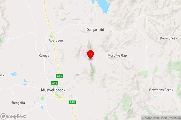
-32.2071564,150.9736468 (latitude/longitude)Mccullys Gap Area Map (Street)

Longitude
150.701949Latitude
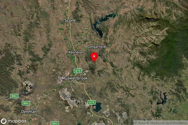
-32.248568Mccullys Gap Suburb Map (Satellite)

Distances
The distance from Mccullys Gap, Hunter Valley exc Newcastle, NSW to AU Greater Capital CitiesSA1 Code 2011
10604112710SA1 Code 2016
10604112710SA2 Code
106041127SA3 Code
10604SA4 Code
106RA 2011
2RA 2016
2MMM 2015
5MMM 2019
5Charge Zone
N2LGA Region
MuswellbrookLGA Code
15650Electorate
Hunter