Singleton Area, Singleton Postcode(2330) & Map in Singleton, Hunter Valley exc Newcastle, NSW
Singleton Area, Singleton Postcode(2330) & Map in Singleton, Hunter Valley exc Newcastle, NSW, AU, Postcode: 2330
Singleton, Singleton, Lower Hunter, Hunter Valley exc Newcastle, New South Wales, Australia, 2330
Singleton Postcode
Area Name
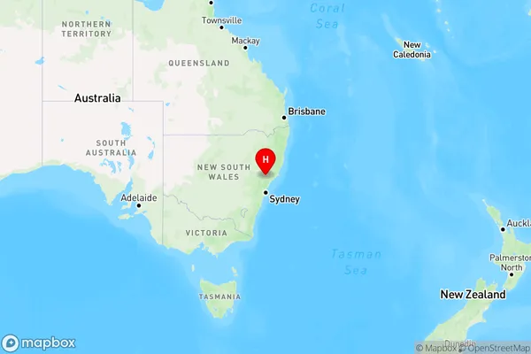
SingletonSingleton Suburb Area Map (Polygon)

Singleton Introduction
Singleton is a city in the Hunter Region of New South Wales, Australia, and is located about 125 km (78 mi) north of Sydney. It is the administrative center of the Singleton Council and is known for its coal mines, wineries, and tourism. The Singleton War Memorial Museum is a major tourist attraction, and the city hosts the Singleton Show every year in September.State Name
City or Big Region
District or Regional Area
Suburb Name
Singleton Region Map

Country
Main Region in AU
R3Coordinates
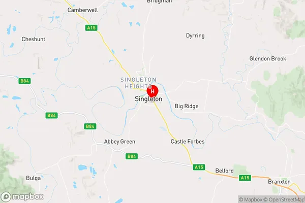
-32.5694741,151.1788155 (latitude/longitude)Singleton Area Map (Street)

Longitude
150.972137Latitude
-32.760486Singleton Elevation
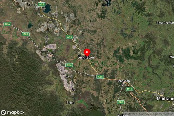
about 339.11 meters height above sea level (Altitude)Singleton Suburb Map (Satellite)

Distances
The distance from Singleton, Hunter Valley exc Newcastle, NSW to AU Greater Capital CitiesSA1 Code 2011
10601111213SA1 Code 2016
10601111213SA2 Code
106011112SA3 Code
10601SA4 Code
106RA 2011
2RA 2016
2MMM 2015
4MMM 2019
4Charge Zone
N2LGA Region
SingletonLGA Code
17000Electorate
Macquarie