Widden Area, Widden Postcode(2328) & Map in Widden, Hunter Valley exc Newcastle, NSW
Widden Area, Widden Postcode(2328) & Map in Widden, Hunter Valley exc Newcastle, NSW, AU, Postcode: 2328
Widden, Muswellbrook Region, Upper Hunter, Hunter Valley exc Newcastle, New South Wales, Australia, 2328
Widden Postcode
Area Name
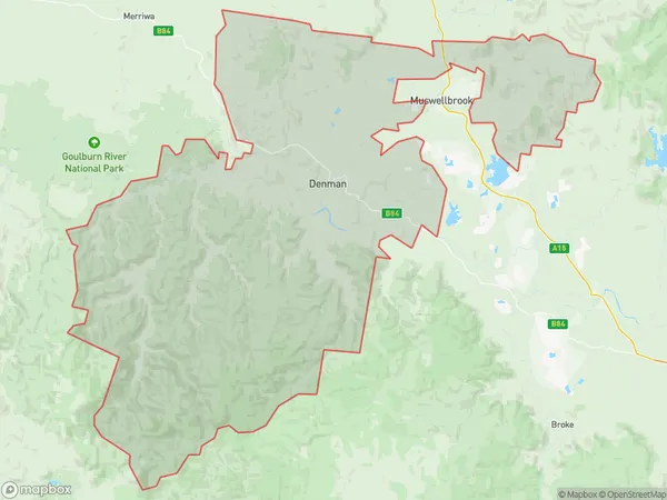
WiddenWidden Suburb Area Map (Polygon)

Widden Introduction
Widden is a historic estate located in the Hunter Valley region of New South Wales, Australia. It is situated approximately 125 kilometers (78 miles) north of Sydney and 35 kilometers (22 miles) south of Newcastle. The property was originally established in the 1820s by John Macarthur, a wealthy wool pioneer, and has since been transformed into a prestigious winery and luxury hotel. Widden is known for its extensive vineyards, which produce a range of premium wines, including Chardonnay, Cabernet Sauvignon, and Shiraz. The estate also features a historic homestead, gardens, and a golf course.State Name
City or Big Region
District or Regional Area
Suburb Name
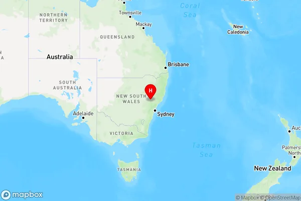
Widden Region Map

Country
Main Region in AU
R3Coordinates
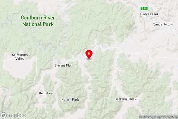
-32.403494,150.394639 (latitude/longitude)Widden Area Map (Street)

Longitude
150.564817Latitude
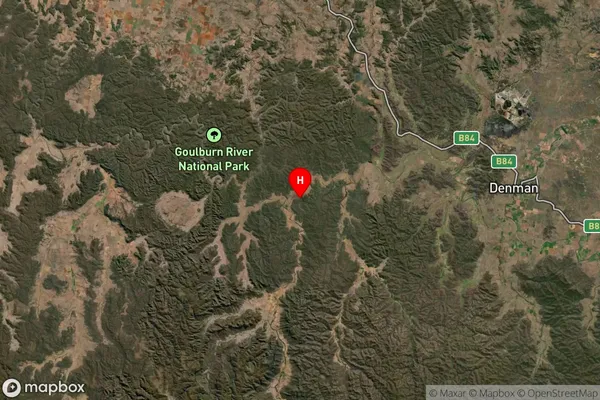
-32.57693Widden Suburb Map (Satellite)

Distances
The distance from Widden, Hunter Valley exc Newcastle, NSW to AU Greater Capital CitiesSA1 Code 2011
10604112706SA1 Code 2016
10604112706SA2 Code
106041127SA3 Code
10604SA4 Code
106RA 2011
3RA 2016
3MMM 2015
5MMM 2019
5Charge Zone
N2LGA Region
MuswellbrookLGA Code
15650Electorate
Hunter