Seven Hills West Area, Seven Hills West Postcode(2147) & Map in Seven Hills West, Sydney - Blacktown, NSW
Seven Hills West Area, Seven Hills West Postcode(2147) & Map in Seven Hills West, Sydney - Blacktown, NSW, AU, Postcode: 2147
Seven Hills West, Lalor Park - Kings Langley, Blacktown, Sydney - Blacktown, New South Wales, Australia, 2147
Seven Hills West Postcode
Area Name
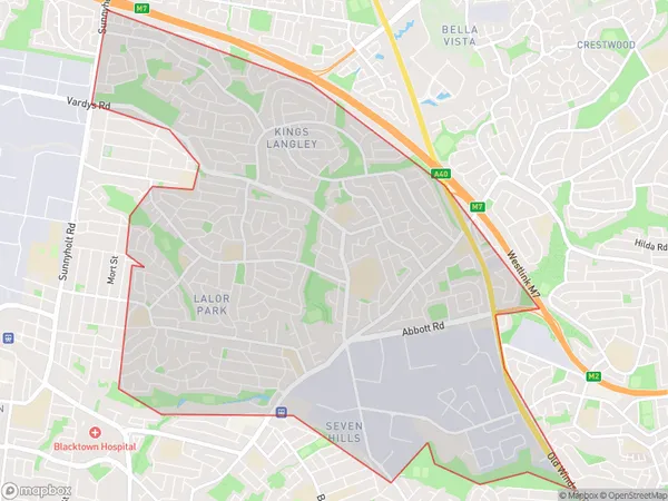
Seven Hills WestSeven Hills West Suburb Area Map (Polygon)

Seven Hills West Introduction
Seven Hills West is a suburb in the Blacktown region of Sydney, New South Wales, Australia. It is located 33 kilometers west of Sydney's central business district and is part of the Greater Western Sydney region. The suburb is named after the Seven Hills district, which was once a major source of coal and iron ore. It is home to a large number of Asian immigrants, particularly from India, Pakistan, and Bangladesh.State Name
City or Big Region
District or Regional Area
Suburb Name
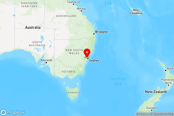
Seven Hills West Region Map

Country
Main Region in AU
R1Coordinates
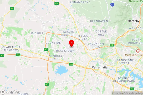
-33.7661982,150.921715 (latitude/longitude)Seven Hills West Area Map (Street)

Longitude
150.935836Latitude
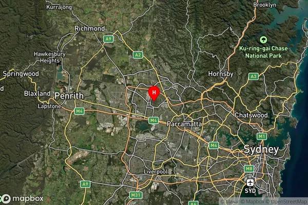
-33.766075Seven Hills West Suburb Map (Satellite)

Distances
The distance from Seven Hills West, Sydney - Blacktown, NSW to AU Greater Capital CitiesSA1 Code 2011
11601130739SA1 Code 2016
11601130739SA2 Code
116011307SA3 Code
11601SA4 Code
116RA 2011
1RA 2016
1MMM 2015
1MMM 2019
1Charge Zone
N1LGA Region
BlacktownLGA Code
10750Electorate
Greenway