Narara Area, Narara Postcode(2250) & Map in Narara, Central Coast, NSW
Narara Area, Narara Postcode(2250) & Map in Narara, Central Coast, NSW, AU, Postcode: 2250
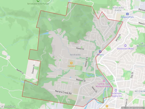
Narara, Narara, Gosford, Central Coast, New South Wales, Australia, 2250
Narara Postcode
Area Name
NararaNarara Suburb Area Map (Polygon)
Narara Introduction
Narara is a suburb on the Central Coast of New South Wales, Australia. It is located between the towns of Gosford and Wyong and is part of the Central Coast Council. Narara is known for its beautiful beaches, lush gardens, and peaceful atmosphere. It is a popular destination for tourists and locals alike, with many attractions and activities to enjoy.State Name
City or Big Region
District or Regional Area
Suburb Name
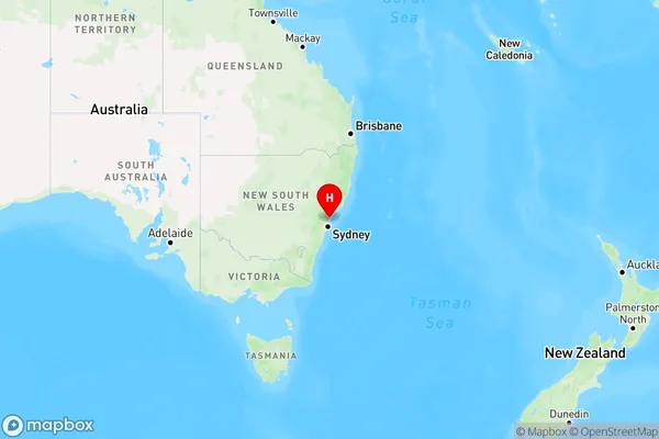
Narara Region Map
Country
Main Region in AU
R3Coordinates
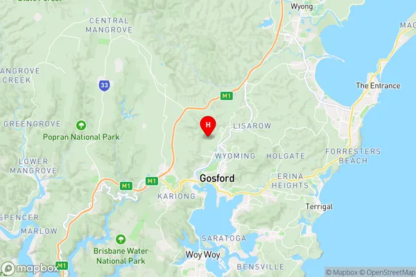
-33.3920856,151.3326862 (latitude/longitude)Narara Area Map (Street)
Longitude
151.189243Latitude
-33.325373Narara Elevation
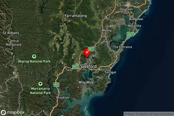
about 2.67 meters height above sea level (Altitude)Narara Suburb Map (Satellite)
Distances
The distance from Narara, Central Coast, NSW to AU Greater Capital CitiesSA1 Code 2011
10201103517SA1 Code 2016
10201103517SA2 Code
102011035SA3 Code
10201SA4 Code
102RA 2011
1RA 2016
1MMM 2015
1MMM 2019
1Charge Zone
N1LGA Region
Central CoastLGA Code
11650Electorate
Robertson