Uloola Area, Uloola Postcode(2232) & Map in Uloola, Sydney - Sutherland, NSW
Uloola Area, Uloola Postcode(2232) & Map in Uloola, Sydney - Sutherland, NSW, AU, Postcode: 2232
Uloola, Royal National Park, Sutherland - Menai - Heathcote, Sydney - Sutherland, New South Wales, Australia, 2232
Uloola Postcode
Area Name
UloolaUloola Suburb Area Map (Polygon)

Uloola Introduction
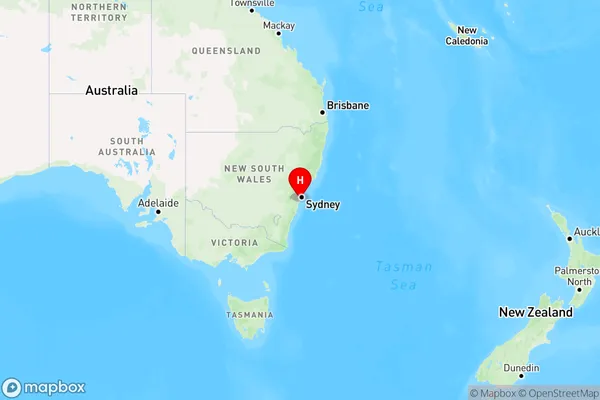
Uloola is a suburb in Sydney, New South Wales, Australia, located 26 kilometers south of the Sydney central business district. It is part of the St George area and is known for its parks, including Uloola Park.State Name
City or Big Region
District or Regional Area
Suburb Name
Uloola Region Map
Country
Main Region in AU
R1Coordinates
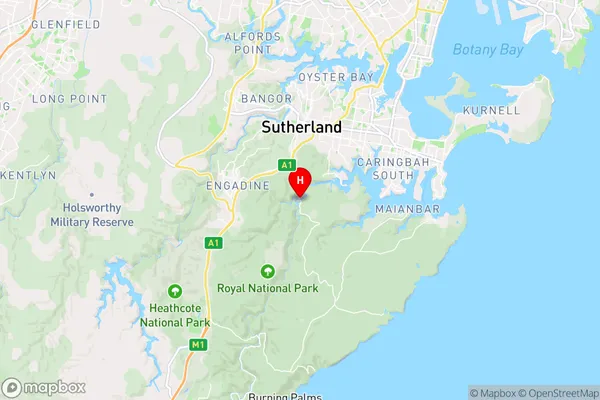
-34.0730997,151.0567636 (latitude/longitude)Uloola Area Map (Street)
Longitude
151.0243Latitude
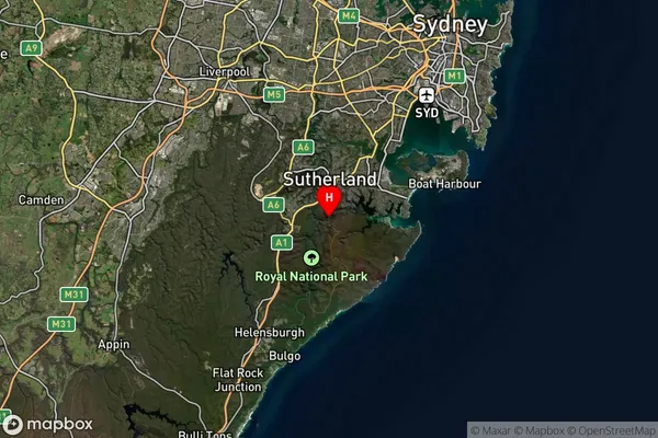
-34.1231Uloola Suburb Map (Satellite)
Distances
The distance from Uloola, Sydney - Sutherland, NSW to AU Greater Capital CitiesSA1 Code 2011
12802153701SA1 Code 2016
12802153701SA2 Code
128021537SA3 Code
12802SA4 Code
128RA 2011
2RA 2016
2MMM 2015
2MMM 2019
2Charge Zone
undefinedLGA Region
Sutherland ShireLGA Code
17150Electorate
undefined