Goldfields Area, Goldfields Postcode(4380) & Map in Goldfields, Darling Downs - Maranoa, QLD
Goldfields Area, Goldfields Postcode(4380) & Map in Goldfields, Darling Downs - Maranoa, QLD, AU, Postcode: 4380
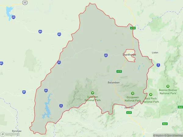
Goldfields, Stanthorpe Region, Granite Belt, Darling Downs - Maranoa, Queensland, Australia, 4380
Goldfields Postcode
Area Name
GoldfieldsGoldfields Suburb Area Map (Polygon)
Goldfields Introduction
Goldfields, Darling Downs - Maranoa, QLD, AU is a region in Queensland, Australia, known for its gold mining history and agricultural production. It includes the towns of Roma, Surat, and Charleville and is home to many national parks and reserves.State Name
City or Big Region
District or Regional Area
Suburb Name
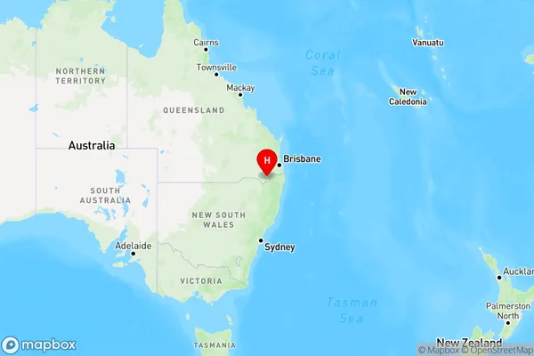
Goldfields Region Map
Country
Main Region in AU
R3Coordinates
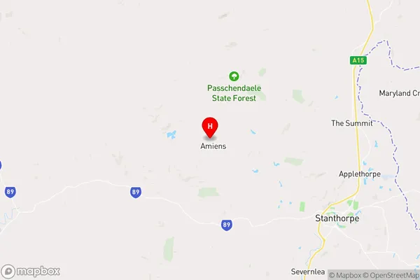
-28.5887,151.809 (latitude/longitude)Goldfields Area Map (Street)
Longitude
151.7143861Latitude
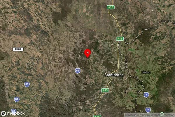
-28.48651883Goldfields Suburb Map (Satellite)
Distances
The distance from Goldfields, Darling Downs - Maranoa, QLD to AU Greater Capital CitiesSA1 Code 2011
30703118806SA1 Code 2016
30703118806SA2 Code
307031188SA3 Code
30703SA4 Code
307RA 2011
3RA 2016
3MMM 2015
5MMM 2019
5Charge Zone
Q2LGA Region
Southern DownsLGA Code
36660Electorate
Maranoa