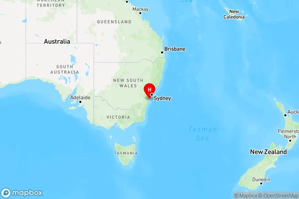
Croom Area, Croom Postcode(2527) & Map in Croom, Illawarra, NSW
Croom Area, Croom Postcode(2527) & Map in Croom, Illawarra, NSW, AU, Postcode: 2527
Croom, Shellharbour - Flinders, Kiama - Shellharbour, Illawarra, New South Wales, Australia, 2527
Croom Postcode
Area Name
CroomCroom Suburb Area Map (Polygon)

Croom Introduction
Croom is a suburb of the City of Shoalhaven in New South Wales, Australia. It is located on the banks of the Shoalhaven River and is about 25 kilometers south of Nowra. The population of Croom was 1,627 at the 2011 census. The suburb has a rural feel with many farms and vineyards in the surrounding area. Croom is also home to the Croom Station, which is on the South Coast railway line.State Name
City or Big Region
District or Regional Area
Suburb Name
Croom Region Map

Country
Main Region in AU
R3Coordinates
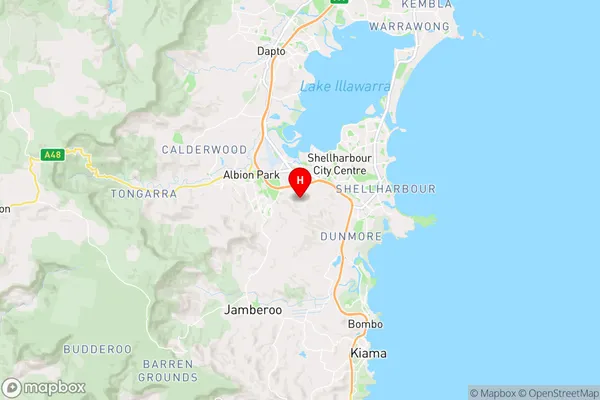
-34.5850604,150.8086082 (latitude/longitude)Croom Area Map (Street)

Longitude
150.754592Latitude
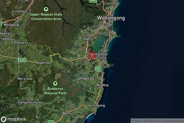
-34.583539Croom Suburb Map (Satellite)

Distances
The distance from Croom, Illawarra, NSW to AU Greater Capital CitiesSA1 Code 2011
10703114124SA1 Code 2016
10703114124SA2 Code
107031141SA3 Code
10703SA4 Code
107RA 2011
2RA 2016
2MMM 2015
2MMM 2019
2Charge Zone
N1LGA Region
ShellharbourLGA Code
16900Electorate
Whitlam