Anu Area, Anu Postcode(0200) & Map in Anu, Australian Capital Territory, ACT
Anu Area, Anu Postcode(0200) & Map in Anu, Australian Capital Territory, ACT, AU, Postcode: 0200
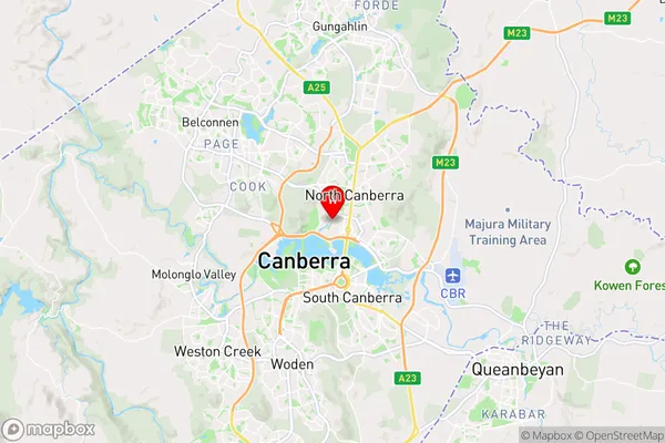
Anu, Acton, North Canberra, Australian Capital Territory, Australian Capital Territory, Australia, 0200
Anu Postcode
Area Name
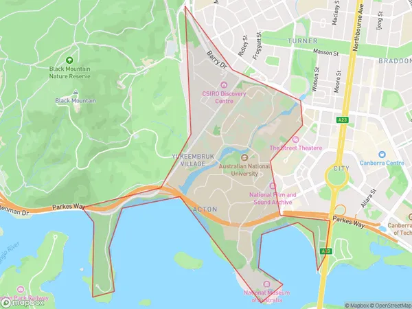
AnuAnu Suburb Area Map (Polygon)
Anu Introduction
Hopetoun is a small town in Western Australia, located in the Shire of Northampton. It is situated on the banks of the Hopetoun River, about 250 kilometers east of Perth. The town is known for its historic buildings, including the Post Office and the Hotel, which date back to the 19th century. The nearby Hopetoun Falls are a popular tourist attraction, and the area is also home to a variety of wildlife, including kangaroos and emus.State Name
City or Big Region
District or Regional Area
Suburb Name
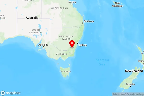
Anu Region Map
Country
Main Region in AU
R1Coordinates
-35.2777,149.119 (latitude/longitude)Anu Area Map (Street)
Longitude
149.119Latitude
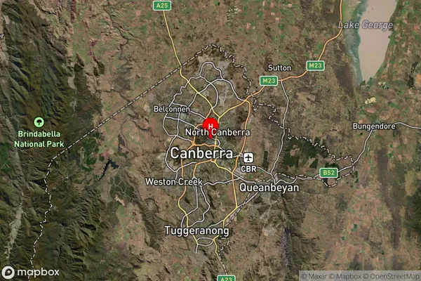
-35.2777Anu Suburb Map (Satellite)
Distances
The distance from Anu, Australian Capital Territory, ACT to AU Greater Capital CitiesSA1 Code 2011
80105104901SA1 Code 2016
80105104901SA2 Code
801051049SA3 Code
80105SA4 Code
801RA 2011
1RA 2016
1MMM 2015
1MMM 2019
1Charge Zone
N2LGA Region
Unincorporated ACTLGA Code
89399Electorate
Durack