The Gap Area, The Gap Postcode(5271) & Map in The Gap, South Australia - South East, SA
The Gap Area, The Gap Postcode(5271) & Map in The Gap, South Australia - South East, SA, AU, Postcode: 5271
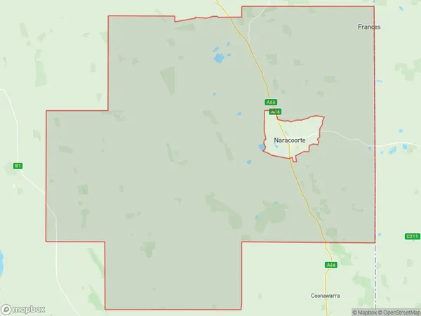
The Gap, Naracoorte Region, Limestone Coast, South Australia - South East, South Australia, Australia, 5271
The Gap Postcode
Area Name
The GapThe Gap Suburb Area Map (Polygon)
The Gap Introduction
The Gap is a suburb of Adelaide, South Australia, located in the City of Tea Tree Gully. It is known for its natural beauty, including the Gap Conservation Park and the Mount Lofty Ranges. The suburb has a population of approximately 10,000 people and is home to a variety of shops, restaurants, and recreational facilities.State Name
City or Big Region
District or Regional Area
Suburb Name
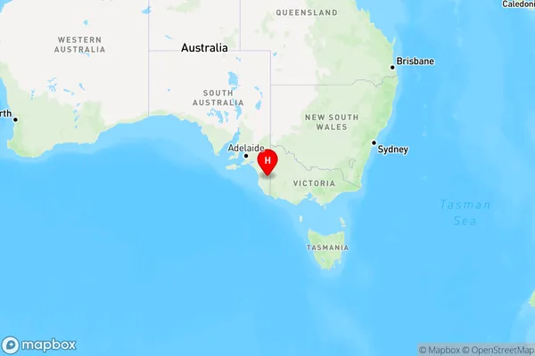
The Gap Region Map
Country
Main Region in AU
R3Coordinates
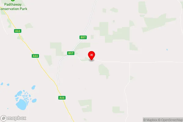
-36.7025254,140.7063036 (latitude/longitude)The Gap Area Map (Street)
Longitude
140.7063031Latitude
-36.70252045The Gap Elevation
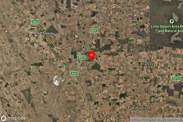
about 80.19 meters height above sea level (Altitude)The Gap Suburb Map (Satellite)
Distances
The distance from The Gap, South Australia - South East, SA to AU Greater Capital CitiesSA1 Code 2011
40702115506SA1 Code 2016
40702115506SA2 Code
407021155SA3 Code
40702SA4 Code
407RA 2011
3RA 2016
3MMM 2015
5MMM 2019
5Charge Zone
S2LGA Region
Naracoorte LucindaleLGA Code
45090Electorate
Barker