Petwood Area, Petwood Postcode(5254) & Map in Petwood, Adelaide - Central and Hills, SA
Petwood Area, Petwood Postcode(5254) & Map in Petwood, Adelaide - Central and Hills, SA, AU, Postcode: 5254
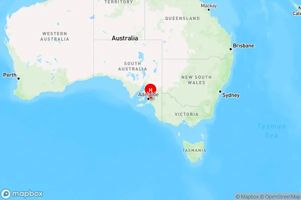
Petwood, Mount Barker Region, Adelaide Hills, Adelaide - Central and Hills, South Australia, Australia, 5254
Petwood Postcode
Area Name
PetwoodPetwood Suburb Area Map (Polygon)

Petwood Introduction
Petwood is a residential suburb in Adelaide, South Australia, located in the City of Tea Tree Gully. It is known for its peaceful and family-friendly environment, with a range of amenities including parks, schools, and shopping centers. The suburb is also home to the Petwood Golf Club, which is one of the oldest golf clubs in Australia.State Name
City or Big Region
District or Regional Area
Suburb Name
Petwood Region Map
Country
Main Region in AU
R3Coordinates
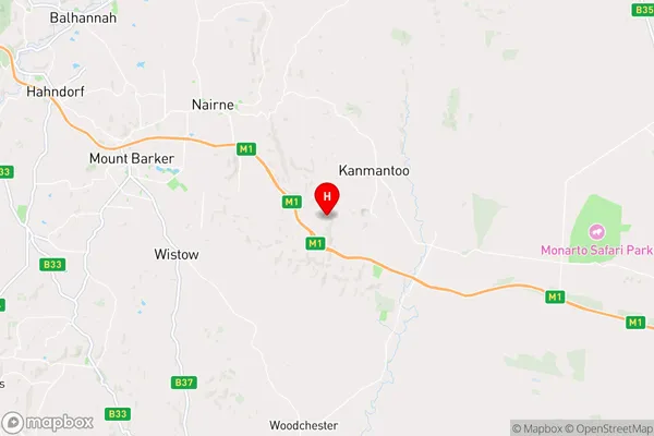
-35.0948236,138.9816498 (latitude/longitude)Petwood Area Map (Street)
Longitude
138.9581537Latitude
-35.08404108Petwood Elevation
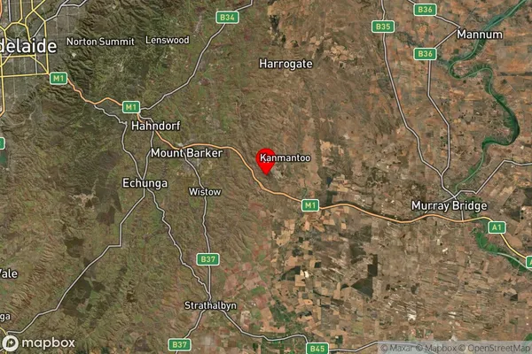
about 70.55 meters height above sea level (Altitude)Petwood Suburb Map (Satellite)
Distances
The distance from Petwood, Adelaide - Central and Hills, SA to AU Greater Capital CitiesSA1 Code 2011
40102100810SA1 Code 2016
40102100810SA2 Code
401021008SA3 Code
40102SA4 Code
401RA 2011
2RA 2016
2MMM 2015
3MMM 2019
3Charge Zone
S2LGA Region
Mount BarkerLGA Code
44550Electorate
Mayo