Millbrook Area, Millbrook Postcode(5231) & Map in Millbrook, Adelaide - Central and Hills, SA
Millbrook Area, Millbrook Postcode(5231) & Map in Millbrook, Adelaide - Central and Hills, SA, AU, Postcode: 5231
Millbrook, Adelaide Hills, Adelaide Hills, Adelaide - Central and Hills, South Australia, Australia, 5231
Millbrook Postcode
Area Name
MillbrookMillbrook Suburb Area Map (Polygon)
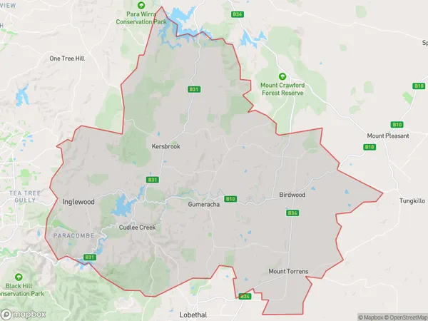
Millbrook Introduction
Millbrook is a suburb of Adelaide, South Australia, located in the City of Tea Tree Gully. It is known for its natural beauty, including the Millbrook Reservoir and the Millbrook Golf Course. The suburb has a population of approximately 5,000 people and is home to a variety of amenities, including schools, shops, and parks.State Name
City or Big Region
District or Regional Area
Suburb Name
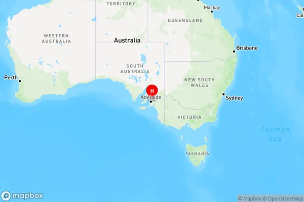
Millbrook Region Map
Country
Main Region in AU
R2Coordinates
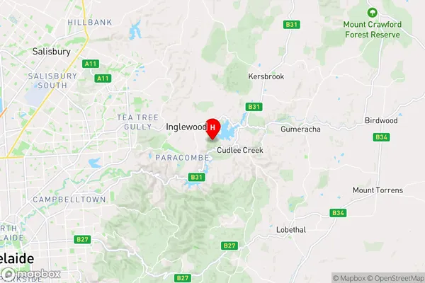
-34.8350681,138.7998263 (latitude/longitude)Millbrook Area Map (Street)
Longitude
138.809837Latitude
-34.82644568Millbrook Elevation
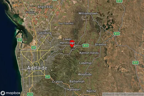
about 304.00 meters height above sea level (Altitude)Millbrook Suburb Map (Satellite)
Distances
The distance from Millbrook, Adelaide - Central and Hills, SA to AU Greater Capital CitiesSA1 Code 2011
40102100312SA1 Code 2016
40102100312SA2 Code
401021003SA3 Code
40102SA4 Code
401RA 2011
2RA 2016
2MMM 2015
2MMM 2019
2Charge Zone
S2LGA Region
Adelaide HillsLGA Code
40120Electorate
Mayo