Westmar Area, Westmar Postcode(4422) & Map in Westmar, Darling Downs - Maranoa, QLD
Westmar Area, Westmar Postcode(4422) & Map in Westmar, Darling Downs - Maranoa, QLD, AU, Postcode: 4422
Westmar, Tara, Darling Downs (West) - Maranoa, Darling Downs - Maranoa, Queensland, Australia, 4422
Westmar Postcode
Area Name
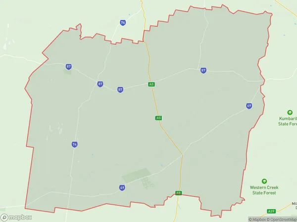
WestmarWestmar Suburb Area Map (Polygon)
Westmar Introduction
Westmar is a locality in the Maranoa Region, Queensland, Australia. It is located 27 km west of Roma and 18 km south of Surat. The town is situated on the Warrego Highway and has a population of approximately 1,000 people. Westmar is a farming community with a number of grain farms and cattle properties. It also has a primary school, a post office, and a hotel.State Name
City or Big Region
District or Regional Area
Suburb Name
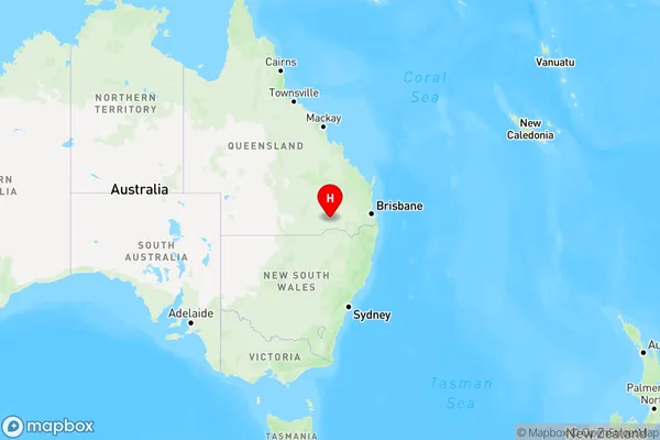
Westmar Region Map
Country
Main Region in AU
R3Coordinates
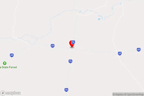
-27.9179247,149.7160981 (latitude/longitude)Westmar Area Map (Street)
Longitude
149.7572563Latitude
-27.88867614Westmar Elevation
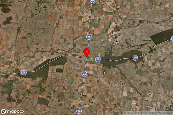
about 225.87 meters height above sea level (Altitude)Westmar Suburb Map (Satellite)
Distances
The distance from Westmar, Darling Downs - Maranoa, QLD to AU Greater Capital CitiesSA1 Code 2011
30701117811SA1 Code 2016
30701117811SA2 Code
307011178SA3 Code
30701SA4 Code
307RA 2011
4RA 2016
4MMM 2015
6MMM 2019
6Charge Zone
Q2LGA Region
GoondiwindiLGA Code
33610Electorate
Maranoa