Pikedale Area, Pikedale Postcode(4380) & Map in Pikedale, Darling Downs - Maranoa, QLD
Pikedale Area, Pikedale Postcode(4380) & Map in Pikedale, Darling Downs - Maranoa, QLD, AU, Postcode: 4380
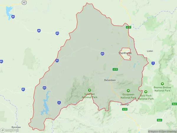
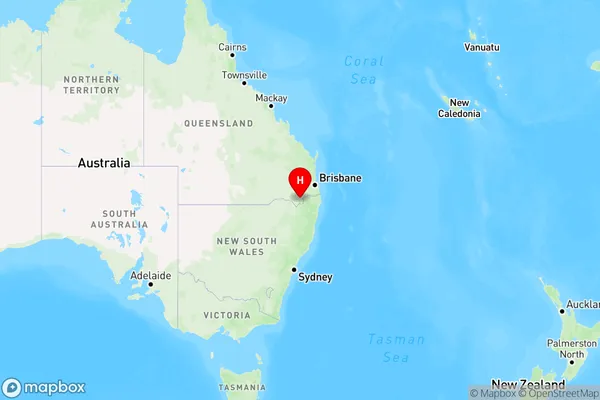
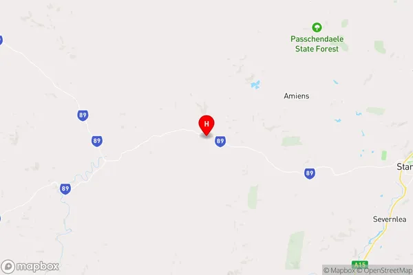
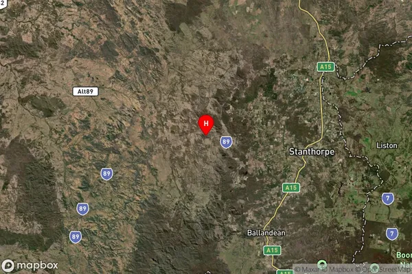
Pikedale, Stanthorpe Region, Granite Belt, Darling Downs - Maranoa, Queensland, Australia, 4380
Pikedale Postcode
Area Name
PikedalePikedale Suburb Area Map (Polygon)
Pikedale Introduction
Pikedale is a town in the Maranoa Region, Queensland, Australia. It is located 31 km west of Roma and 34 km east of Mitchell. The town is named after the Pikedale pastoral run, which was established in 1877. Pikedale has a population of approximately 600 people and is a farming community. It is known for its wheat and cotton production, as well as its cattle and sheep farming.State Name
City or Big Region
District or Regional Area
Suburb Name
Pikedale Region Map
Country
Main Region in AU
R3Coordinates
-28.630403,151.7224123 (latitude/longitude)Pikedale Area Map (Street)
Longitude
151.6579904Latitude
-28.63119612Pikedale Elevation
about 636.44 meters height above sea level (Altitude)Pikedale Suburb Map (Satellite)
Distances
The distance from Pikedale, Darling Downs - Maranoa, QLD to AU Greater Capital CitiesSA1 Code 2011
30703118807SA1 Code 2016
30703118807SA2 Code
307031188SA3 Code
30703SA4 Code
307RA 2011
3RA 2016
3MMM 2015
5MMM 2019
5Charge Zone
Q2LGA Region
Southern DownsLGA Code
36660Electorate
Maranoa