Mount Tully Area, Mount Tully Postcode(4380) & Map in Mount Tully, Darling Downs - Maranoa, QLD
Mount Tully Area, Mount Tully Postcode(4380) & Map in Mount Tully, Darling Downs - Maranoa, QLD, AU, Postcode: 4380
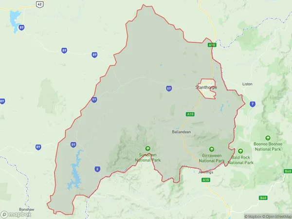
Mount Tully, Stanthorpe Region, Granite Belt, Darling Downs - Maranoa, Queensland, Australia, 4380
Mount Tully Postcode
Area Name
Mount TullyMount Tully Suburb Area Map (Polygon)
Mount Tully Introduction
Mount Tully is a mountain in the Maranoa region of Queensland, Australia. It is located approximately 20 kilometers north of Roma and is part of the Great Dividing Range. The mountain has an elevation of 2,017 meters and is known for its scenic views and hiking trails.State Name
City or Big Region
District or Regional Area
Suburb Name
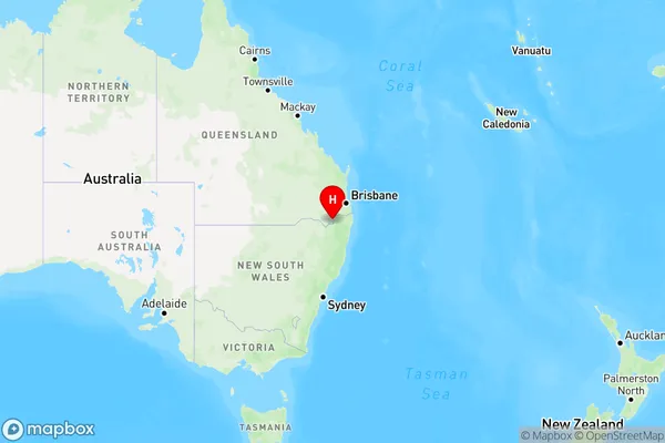
Mount Tully Region Map
Country
Main Region in AU
R3Coordinates
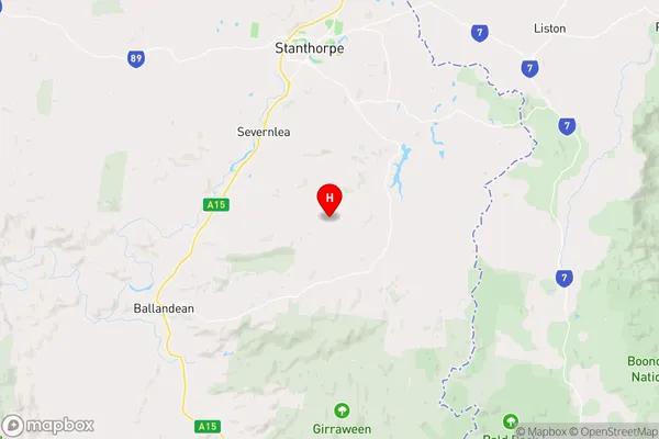
-28.7500976,151.9462633 (latitude/longitude)Mount Tully Area Map (Street)
Longitude
151.9463969Latitude
-28.7427235Mount Tully Elevation
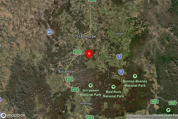
about 991.61 meters height above sea level (Altitude)Mount Tully Suburb Map (Satellite)
Distances
The distance from Mount Tully, Darling Downs - Maranoa, QLD to AU Greater Capital CitiesSA1 Code 2011
30703118814SA1 Code 2016
30703118814SA2 Code
307031188SA3 Code
30703SA4 Code
307RA 2011
3RA 2016
3MMM 2015
5MMM 2019
5Charge Zone
Q2LGA Region
Southern DownsLGA Code
36660Electorate
Maranoa