Mount Roland Area, Mount Roland Postcode(7306) & Map in Mount Roland, West and North West, TAS
Mount Roland Area, Mount Roland Postcode(7306) & Map in Mount Roland, West and North West, TAS, AU, Postcode: 7306
Mount Roland, Sheffield - Railton, Devonport, West and North West, Tasmania, Australia, 7306
Mount Roland Postcode
Area Name
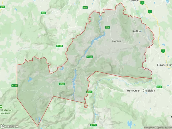
Mount RolandMount Roland Suburb Area Map (Polygon)
Mount Roland Introduction
Mount Roland is a mountain located in Tasmania, Australia. It has two peaks, the West Peak and the North West Peak, and is known for its scenic views and challenging hiking trails. The mountain is part of the Cradle Mountain-Lake St. Clair National Park and is a popular destination for tourists and outdoor enthusiasts.State Name
City or Big Region
District or Regional Area
Suburb Name
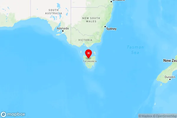
Mount Roland Region Map
Country
Main Region in AU
R3Coordinates
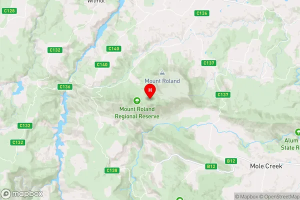
-41.4894,146.249 (latitude/longitude)Mount Roland Area Map (Street)
Longitude
146.2497639Latitude
-41.50002926Mount Roland Elevation
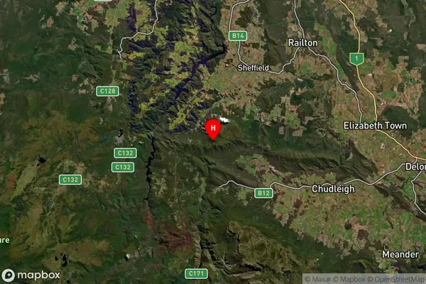
about 531.40 meters height above sea level (Altitude)Mount Roland Suburb Map (Satellite)
Distances
The distance from Mount Roland, West and North West, TAS to AU Greater Capital CitiesSA1 Code 2011
60402109103SA1 Code 2016
60402109103SA2 Code
604021091SA3 Code
60402SA4 Code
604RA 2011
3RA 2016
3MMM 2015
5MMM 2019
5Charge Zone
T1LGA Region
KentishLGA Code
63210Electorate
Lyons