Good Forest Area, Good Forest Postcode(2790) & Map in Good Forest, Central West, NSW
Good Forest Area, Good Forest Postcode(2790) & Map in Good Forest, Central West, NSW, AU, Postcode: 2790
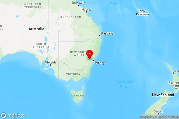
Good Forest, Lithgow Region, Lithgow - Mudgee, Central West, New South Wales, Australia, 2790
Good Forest Postcode
Area Name
Good ForestGood Forest Suburb Area Map (Polygon)

Good Forest Introduction
Good Forest is a small town in Central West, NSW, AU, known for its lush forests and scenic landscapes. It is a popular destination for hiking, camping, and wildlife watching. The town has a population of around 1,000 people and is home to several local businesses, including a general store, a pub, and a cafe.State Name
City or Big Region
District or Regional Area
Suburb Name
Good Forest Region Map
Country
Main Region in AU
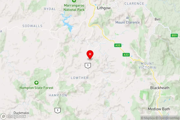
R3Coordinates
-33.581,150.125 (latitude/longitude)Good Forest Area Map (Street)
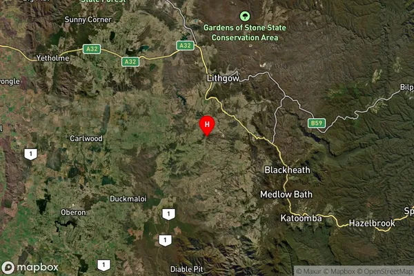
Longitude
150.1107946Latitude
-33.58752553Good Forest Elevation
about 869.31 meters height above sea level (Altitude)Good Forest Suburb Map (Satellite)
Distances
The distance from Good Forest, Central West, NSW to AU Greater Capital CitiesSA1 Code 2011
10303107117SA1 Code 2016
10303107117SA2 Code
103031071SA3 Code
10303SA4 Code
103RA 2011
2RA 2016
2MMM 2015
5MMM 2019
5Charge Zone
N2LGA Region
Blue MountainsLGA Code
10900Electorate
Calare