Goat Island Area, Goat Island Postcode(2477) & Map in Goat Island, Richmond - Tweed, NSW
Goat Island Area, Goat Island Postcode(2477) & Map in Goat Island, Richmond - Tweed, NSW, AU, Postcode: 2477
Goat Island, Ballina Region, Richmond Valley - Coastal, Richmond - Tweed, New South Wales, Australia, 2477
Goat Island Postcode
Area Name
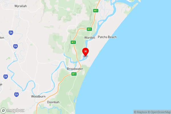
Goat IslandGoat Island Suburb Area Map (Polygon)

State Name
City or Big Region
District or Regional Area
Suburb Name
Goat Island Region Map
Country
Main Region in AU
R3Coordinates
-28.9891844,153.4574465 (latitude/longitude)Goat Island Area Map (Street)
Longitude
153.4578479Latitude
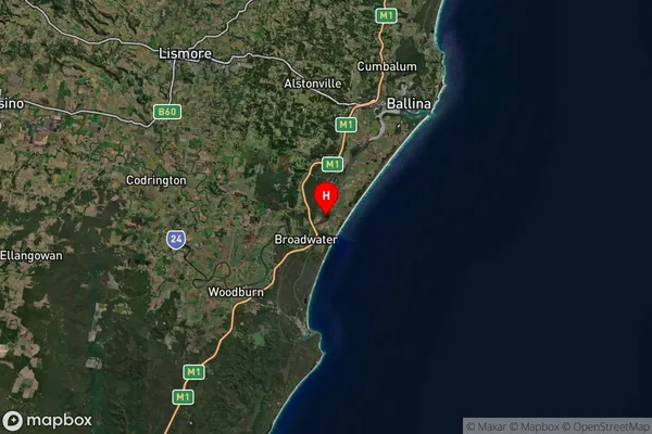
-28.98916901Goat Island Suburb Map (Satellite)
Distances
The distance from Goat Island, Richmond - Tweed, NSW to AU Greater Capital CitiesSA1 Code 2011
11201123727SA1 Code 2016
11201123727SA2 Code
112011237SA3 Code
11201SA4 Code
112RA 2011
2RA 2016
2MMM 2015
5MMM 2019
5Charge Zone
N2LGA Region
BallinaLGA Code
10250Electorate
Richmond