Sherwood Area, Sherwood Postcode(2450) & Map in Sherwood, Coffs Harbour - Grafton, NSW
Sherwood Area, Sherwood Postcode(2450) & Map in Sherwood, Coffs Harbour - Grafton, NSW, AU, Postcode: 2450
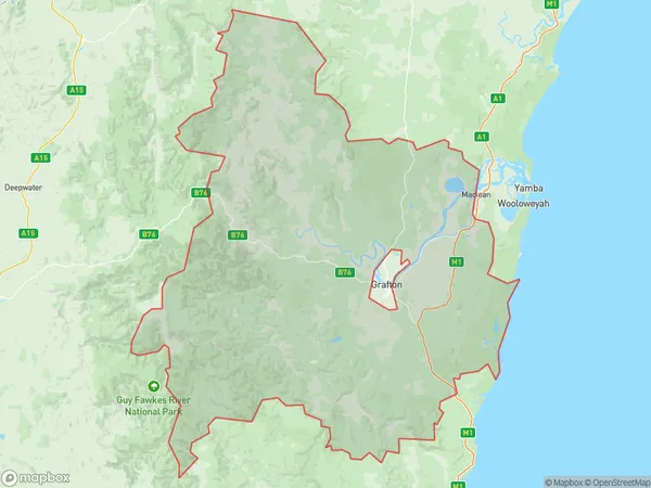
Sherwood, Grafton Region, Clarence Valley, Coffs Harbour - Grafton, New South Wales, Australia, 2450
Sherwood Postcode
Area Name
SherwoodSherwood Suburb Area Map (Polygon)
Sherwood Introduction
Sherwood, Coffs Harbour - Grafton, NSW, AU is a residential area located in the Mid North Coast region of New South Wales, Australia. It is known for its scenic beauty, including the nearby beaches, forests, and national parks. The area has a population of approximately 10,000 people and is home to a variety of businesses and amenities, including schools, shopping centers, and healthcare facilities.State Name
City or Big Region
District or Regional Area
Suburb Name
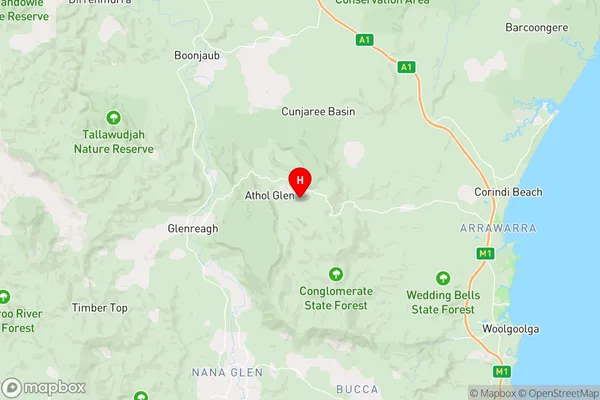
Sherwood Region Map

Country
Main Region in AU
R3Coordinates
-30.0343391,153.0552327 (latitude/longitude)Sherwood Area Map (Street)
Longitude
153.0454187Latitude
-30.03087806Sherwood Elevation
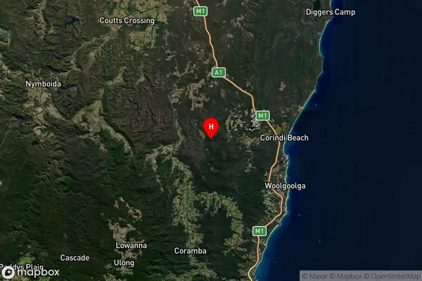
about 590.15 meters height above sea level (Altitude)Sherwood Suburb Map (Satellite)
Distances
The distance from Sherwood, Coffs Harbour - Grafton, NSW to AU Greater Capital CitiesSA1 Code 2011
10401108108SA1 Code 2016
10401108108SA2 Code
104011081SA3 Code
10401SA4 Code
104RA 2011
3RA 2016
3MMM 2015
5MMM 2019
5Charge Zone
N2LGA Region
Coffs HarbourLGA Code
11800Electorate
Page