Jackadgery Area, Jackadgery Postcode(2460) & Map in Jackadgery, Coffs Harbour - Grafton, NSW
Jackadgery Area, Jackadgery Postcode(2460) & Map in Jackadgery, Coffs Harbour - Grafton, NSW, AU, Postcode: 2460
Jackadgery, Grafton Region, Clarence Valley, Coffs Harbour - Grafton, New South Wales, Australia, 2460
Jackadgery Postcode
Area Name
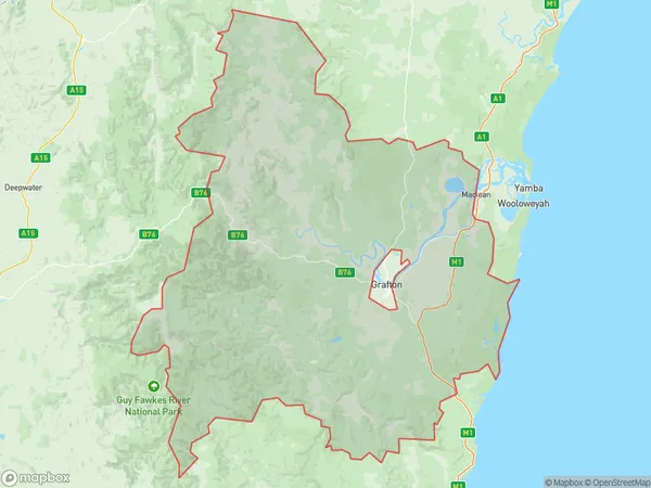
JackadgeryJackadgery Suburb Area Map (Polygon)

Jackadgery Introduction
Jackadgery is a charming rural village nestled in the heart of the Clarence Valley, approximately 2 hours north of Sydney. It offers a peaceful escape from the hustle and bustle of city life with its picturesque countryside, lush green forests, and tranquil waterways. The village is home to a variety of historic buildings, including the Jackadgery Pub, which dates back to the 1880s and is a popular spot for locals and visitors alike. The community is also known for its annual Jackadgery Show, a celebration of local culture and heritage that includes a variety of activities and entertainment.State Name
City or Big Region
District or Regional Area
Suburb Name
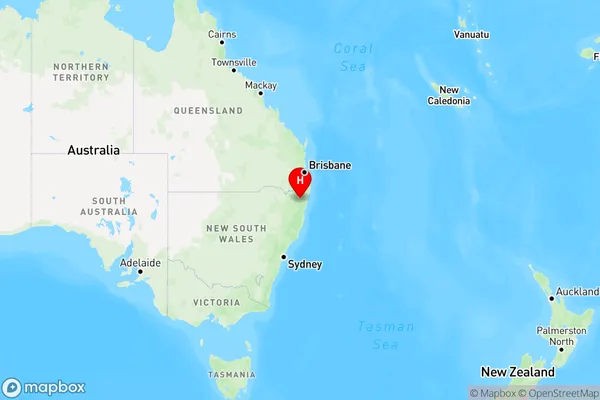
Jackadgery Region Map

Country
Main Region in AU
R3Coordinates
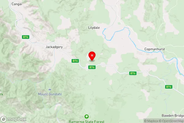
-29.6100412,152.636149 (latitude/longitude)Jackadgery Area Map (Street)

Longitude
153.271074Latitude
-29.320772Jackadgery Elevation
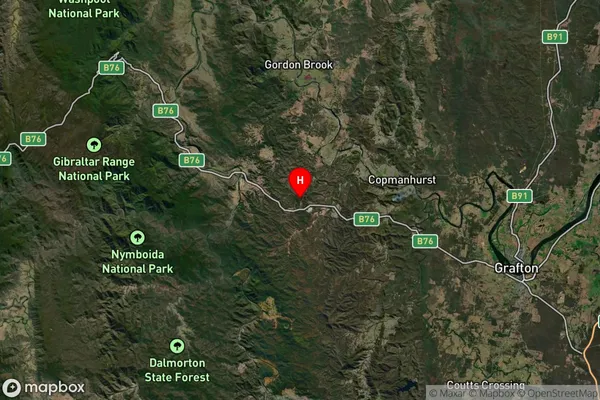
about 14.97 meters height above sea level (Altitude)Jackadgery Suburb Map (Satellite)

Distances
The distance from Jackadgery, Coffs Harbour - Grafton, NSW to AU Greater Capital CitiesSA1 Code 2011
10401108105SA1 Code 2016
10401108105SA2 Code
104011081SA3 Code
10401SA4 Code
104RA 2011
3RA 2016
3MMM 2015
5MMM 2019
5Charge Zone
N2LGA Region
Richmond ValleyLGA Code
16610Electorate
Page