Sandy Beach Area, Sandy Beach Postcode(2456) & Map in Sandy Beach, Coffs Harbour - Grafton, NSW
Sandy Beach Area, Sandy Beach Postcode(2456) & Map in Sandy Beach, Coffs Harbour - Grafton, NSW, AU, Postcode: 2456
Sandy Beach, Woolgoolga - Arrawarra, Coffs Harbour, Coffs Harbour - Grafton, New South Wales, Australia, 2456
Sandy Beach Postcode
Area Name
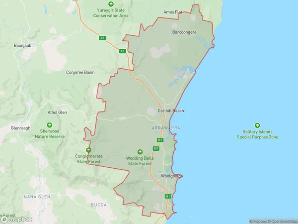
Sandy BeachSandy Beach Suburb Area Map (Polygon)

Sandy Beach Introduction
Sandy Beach is a tranquil coastal haven located in the heart of Coffs Harbour, New South Wales. It boasts crystal-clear waters, golden sands, and a peaceful atmosphere, making it a popular spot for swimming, sunbathing, and fishing. The beach is surrounded by lush vegetation and offers a range of amenities, including picnic areas, BBQ facilities, and a children's playground. Visitors can also explore the nearby walking trails and enjoy the stunning coastal views.State Name
City or Big Region
District or Regional Area
Suburb Name
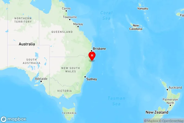
Sandy Beach Region Map

Country
Main Region in AU
R3Coordinates
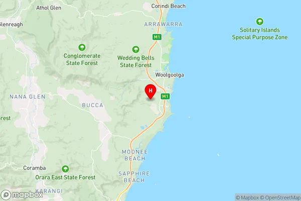
-30.1412739,153.1737578 (latitude/longitude)Sandy Beach Area Map (Street)

Longitude
153.143409Latitude
-30.073663Sandy Beach Elevation
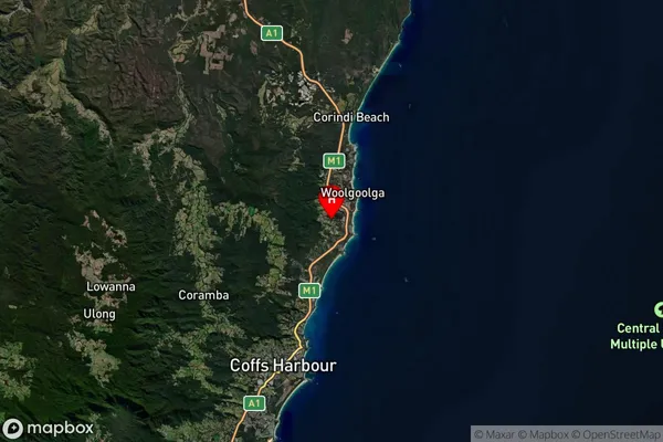
about 105.16 meters height above sea level (Altitude)Sandy Beach Suburb Map (Satellite)

Distances
The distance from Sandy Beach, Coffs Harbour - Grafton, NSW to AU Greater Capital CitiesSA1 Code 2011
10402109113SA1 Code 2016
10402109113SA2 Code
104021091SA3 Code
10402SA4 Code
104RA 2011
2RA 2016
2MMM 2015
3MMM 2019
3Charge Zone
N2LGA Region
Coffs HarbourLGA Code
11800Electorate
Page