Arrawarra Headland Area, Arrawarra Headland Postcode(2456) & Map in Arrawarra Headland, Coffs Harbour - Grafton, NSW
Arrawarra Headland Area, Arrawarra Headland Postcode(2456) & Map in Arrawarra Headland, Coffs Harbour - Grafton, NSW, AU, Postcode: 2456
Arrawarra Headland, Woolgoolga - Arrawarra, Coffs Harbour, Coffs Harbour - Grafton, New South Wales, Australia, 2456
Arrawarra Headland Postcode
Area Name
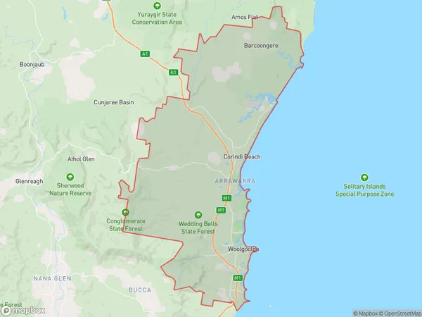
Arrawarra HeadlandArrawarra Headland Suburb Area Map (Polygon)

Arrawarra Headland Introduction
Arrawarra Headland is a stunning coastal area located in Coffs Harbour, New South Wales, Australia. It boasts breathtaking ocean views, pristine beaches, and a rich cultural heritage. The headland is a popular destination for hiking, camping, and picnicking, with numerous walking trails and picnic spots. It is also home to a significant Aboriginal cultural site, with ancient rock paintings and burial grounds. The area is surrounded by lush forests and is a sanctuary for a variety of wildlife, including kangaroos, wallabies, and birds.State Name
City or Big Region
District or Regional Area
Suburb Name
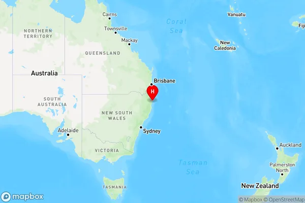
Arrawarra Headland Region Map

Country
Main Region in AU
R3Coordinates
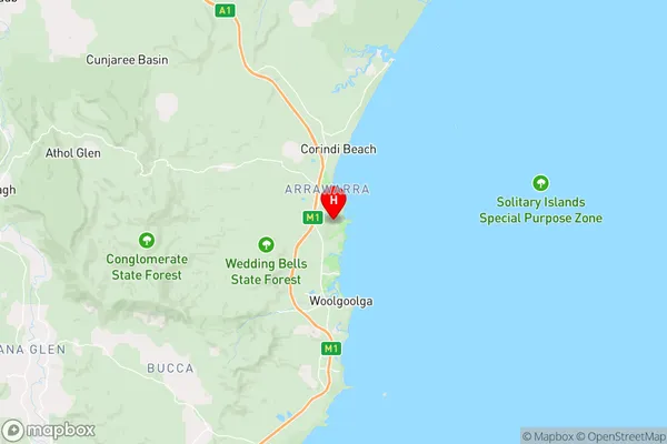
-30.068611,153.195278 (latitude/longitude)Arrawarra Headland Area Map (Street)

Longitude
153.143409Latitude
-30.073663Arrawarra Headland Elevation
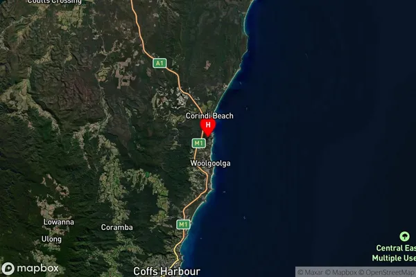
about 105.16 meters height above sea level (Altitude)Arrawarra Headland Suburb Map (Satellite)

Distances
The distance from Arrawarra Headland, Coffs Harbour - Grafton, NSW to AU Greater Capital CitiesSA1 Code 2011
10402109123SA1 Code 2016
10402109123SA2 Code
104021091SA3 Code
10402SA4 Code
104RA 2011
2RA 2016
2MMM 2015
5MMM 2019
4Charge Zone
N2LGA Region
Coffs HarbourLGA Code
11800Electorate
Page