Scotchman Area, Scotchman Postcode(2454) & Map in Scotchman, Coffs Harbour - Grafton, NSW
Scotchman Area, Scotchman Postcode(2454) & Map in Scotchman, Coffs Harbour - Grafton, NSW, AU, Postcode: 2454
Scotchman, Bellingen, Coffs Harbour, Coffs Harbour - Grafton, New South Wales, Australia, 2454
Scotchman Postcode
Area Name
ScotchmanScotchman Suburb Area Map (Polygon)

Scotchman Introduction
Scotchman is a heritage-listed wool store in Coffs Harbour, New South Wales, Australia. It was built in 1889 and is a timber-framed building with corrugated iron roofing. The store is significant as a representative example of a small-scale, rural timber commercial building in the region.State Name
City or Big Region
District or Regional Area
Suburb Name
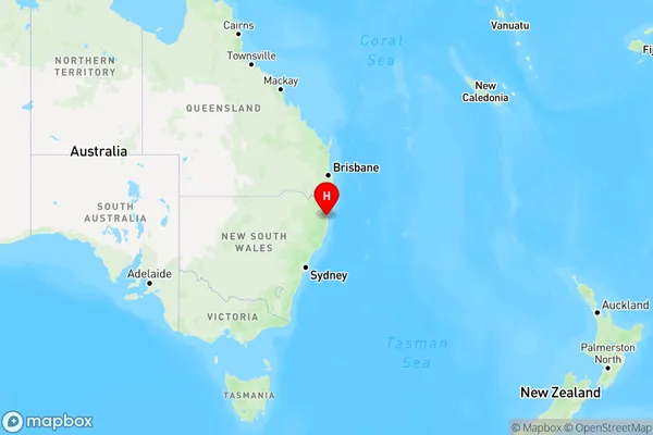
Scotchman Region Map

Country
Main Region in AU
R3Coordinates
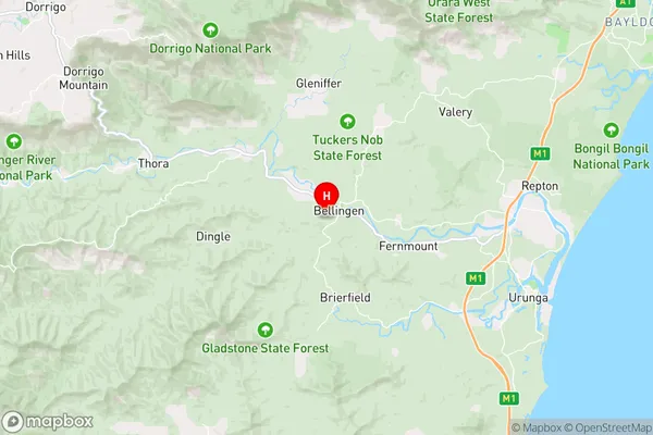
-30.4547368,152.8892966 (latitude/longitude)Scotchman Area Map (Street)

Longitude
152.840266Latitude
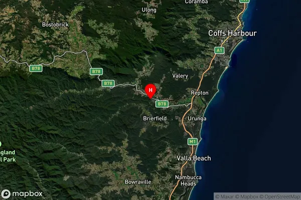
-30.459807Scotchman Suburb Map (Satellite)

Distances
The distance from Scotchman, Coffs Harbour - Grafton, NSW to AU Greater Capital CitiesSA1 Code 2011
10402108308SA1 Code 2016
10402108308SA2 Code
104021083SA3 Code
10402SA4 Code
104RA 2011
3RA 2016
3MMM 2015
5MMM 2019
5Charge Zone
N2LGA Region
BellingenLGA Code
10600Electorate
Cowper