Alice Area, Alice Postcode(2470) & Map in Alice, Coffs Harbour - Grafton, NSW
Alice Area, Alice Postcode(2470) & Map in Alice, Coffs Harbour - Grafton, NSW, AU, Postcode: 2470
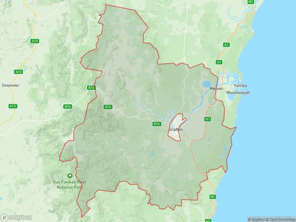
Alice, Grafton Region, Clarence Valley, Coffs Harbour - Grafton, New South Wales, Australia, 2470
Alice Postcode
Area Name
AliceAlice Suburb Area Map (Polygon)
Alice Introduction
Alice is a small town located in the Clarence Valley region of New South Wales, Australia. It is situated approximately 250 kilometers north of Sydney and 35 kilometers south of Grafton. The town is known for its beautiful beaches, lush forests, and vibrant cultural heritage. It is home to a number of historic buildings, including the Alice Springs Telegraph Station, which is listed on the National Heritage Register. The town also has a number of popular tourist attractions, including the Big Banana Fun Park and the Clarence River National Park.State Name
City or Big Region
District or Regional Area
Suburb Name
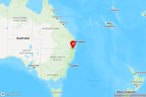
Alice Region Map
Country
Main Region in AU
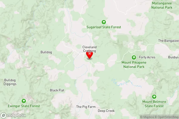
R3Coordinates
-29.053,152.601 (latitude/longitude)Alice Area Map (Street)
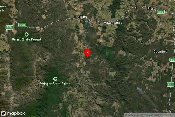
Longitude
152.749759Latitude
-28.92786Alice Elevation
about 122.92 meters height above sea level (Altitude)Alice Suburb Map (Satellite)
Distances
The distance from Alice, Coffs Harbour - Grafton, NSW to AU Greater Capital CitiesSA1 Code 2011
10401108103SA1 Code 2016
10401108103SA2 Code
104011081SA3 Code
10401SA4 Code
104RA 2011
3RA 2016
3MMM 2015
5MMM 2019
5Charge Zone
N2LGA Region
Richmond ValleyLGA Code
16610Electorate
Page