Mookima Wybra Area, Mookima Wybra Postcode(2469) & Map in Mookima Wybra, Coffs Harbour - Grafton, NSW
Mookima Wybra Area, Mookima Wybra Postcode(2469) & Map in Mookima Wybra, Coffs Harbour - Grafton, NSW, AU, Postcode: 2469
Mookima Wybra, Grafton Region, Clarence Valley, Coffs Harbour - Grafton, New South Wales, Australia, 2469
Mookima Wybra Postcode
Area Name
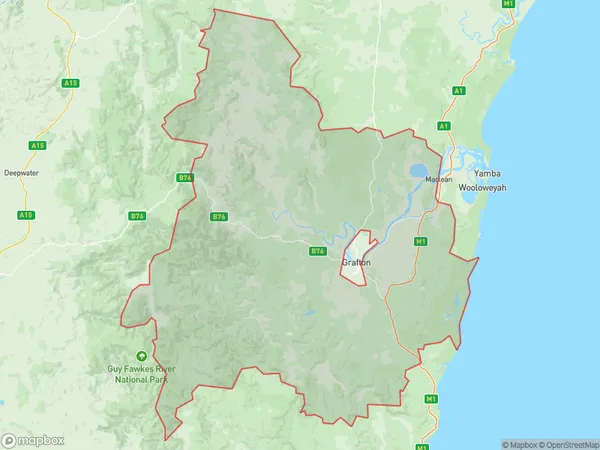
Mookima WybraMookima Wybra Suburb Area Map (Polygon)

Mookima Wybra Introduction
Mookima Wybra is a heritage-listed site located in the city of Coffs Harbour, New South Wales, Australia. It is a significant example of a timber-getting camp established in the early 1900s to service the nearby sawmills. The camp was established by the Wybra brothers, who were German immigrants, and it operated until the 1960s. The site includes a range of timber-built structures, such as houses, workshops, and storage buildings, as well as a steam engine and a water tower. Mookima Wybra is an important part of the region's industrial heritage and provides a glimpse into the working lives of the early timber workers.State Name
City or Big Region
District or Regional Area
Suburb Name
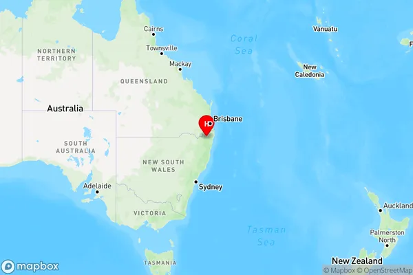
Mookima Wybra Region Map

Country
Main Region in AU
R3Coordinates
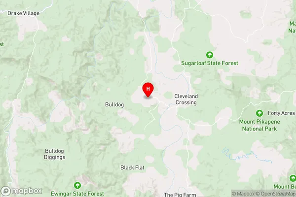
-29.0307514,152.5480319 (latitude/longitude)Mookima Wybra Area Map (Street)

Longitude
153.002402Latitude
-29.338403Mookima Wybra Elevation
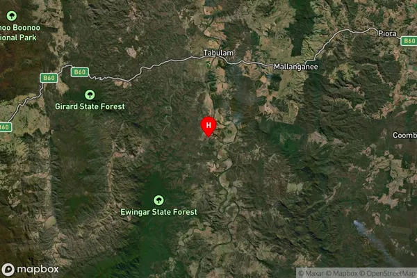
about 89.42 meters height above sea level (Altitude)Mookima Wybra Suburb Map (Satellite)

Distances
The distance from Mookima Wybra, Coffs Harbour - Grafton, NSW to AU Greater Capital CitiesSA1 Code 2011
10401108103SA1 Code 2016
10401108103SA2 Code
104011081SA3 Code
10401SA4 Code
104RA 2011
3RA 2016
3MMM 2015
5MMM 2019
5Charge Zone
N2LGA Region
Richmond ValleyLGA Code
16610Electorate
Page