Gilletts Ridge Area, Gilletts Ridge Postcode(2462) & Map in Gilletts Ridge, Coffs Harbour - Grafton, NSW
Gilletts Ridge Area, Gilletts Ridge Postcode(2462) & Map in Gilletts Ridge, Coffs Harbour - Grafton, NSW, AU, Postcode: 2462
Gilletts Ridge, Grafton Region, Clarence Valley, Coffs Harbour - Grafton, New South Wales, Australia, 2462
Gilletts Ridge Postcode
Area Name
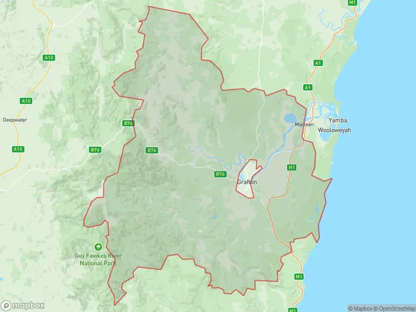
Gilletts RidgeGilletts Ridge Suburb Area Map (Polygon)

Gilletts Ridge Introduction
Gilletts Ridge is a mountain located in the New South Wales region of Australia. It is part of the Gibraltar Range and is situated between the towns of Coffs Harbour and Grafton. The ridge offers stunning panoramic views of the surrounding area, including the ocean, mountains, and valleys. It is a popular destination for hiking, camping, and nature enthusiasts. The mountain is home to a variety of wildlife, including kangaroos, wallabies, and echidnas.State Name
City or Big Region
District or Regional Area
Suburb Name
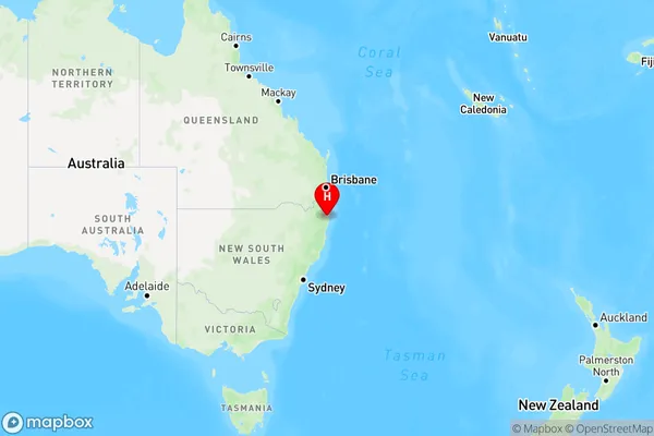
Gilletts Ridge Region Map

Country
Main Region in AU
R3Coordinates
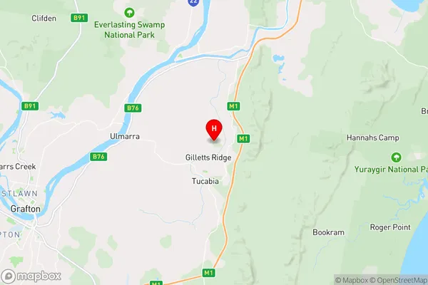
-29.6357456,153.1148552 (latitude/longitude)Gilletts Ridge Area Map (Street)

Longitude
153.187047Latitude
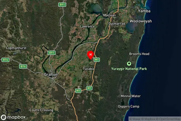
-29.829194Gilletts Ridge Suburb Map (Satellite)

Distances
The distance from Gilletts Ridge, Coffs Harbour - Grafton, NSW to AU Greater Capital CitiesSA1 Code 2011
10401108146SA1 Code 2016
10401108146SA2 Code
104011081SA3 Code
10401SA4 Code
104RA 2011
3RA 2016
3MMM 2015
5MMM 2019
5Charge Zone
N2LGA Region
Coffs HarbourLGA Code
11800Electorate
Page