Kewdale Area, Kewdale Postcode(6105) & Map in Kewdale, Perth - South East, WA
Kewdale Area, Kewdale Postcode(6105) & Map in Kewdale, Perth - South East, WA, AU, Postcode: 6105
Kewdale, Kewdale Commercial, Belmont - Victoria Park, Perth - South East, Western Australia, Australia, 6105
Kewdale Postcode
Area Name
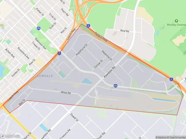
KewdaleKewdale Suburb Area Map (Polygon)
Kewdale Introduction
Kewdale is a suburb of Perth, Western Australia, located 12 kilometers southeast of the central business district. It is known for its industrial and commercial areas, including the Perth Airport and the Kewdale Freight Terminal. The suburb has a population of approximately 10,000 people and is home to a variety of businesses, including manufacturing, logistics, and transportation.State Name
City or Big Region
District or Regional Area
Suburb Name
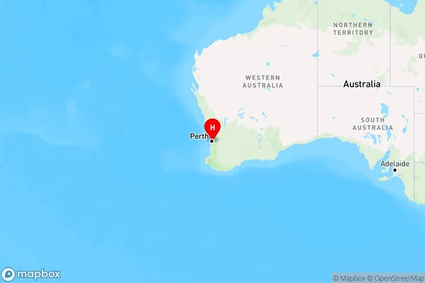
Kewdale Region Map
Country
Main Region in AU
R2Coordinates
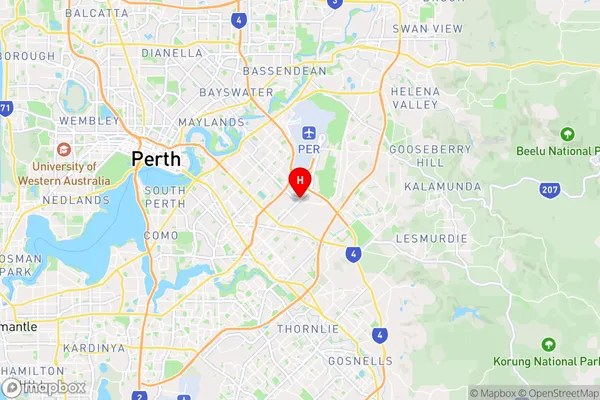
-31.9797348,115.9596253 (latitude/longitude)Kewdale Area Map (Street)
Longitude
115.963293Latitude
-31.95388Kewdale Elevation
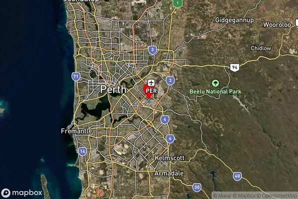
about 19.85 meters height above sea level (Altitude)Kewdale Suburb Map (Satellite)
Distances
The distance from Kewdale, Perth - South East, WA to AU Greater Capital CitiesSA1 Code 2011
50602112001SA1 Code 2016
50602112001SA2 Code
506021120SA3 Code
50602SA4 Code
506RA 2011
1RA 2016
1MMM 2015
1MMM 2019
1Charge Zone
W1LGA Region
BelmontLGA Code
50490Electorate
Swan