Emu Point Area, Emu Point Postcode(6330) & Map in Emu Point, Western Australia - Wheat Belt, WA
Emu Point Area, Emu Point Postcode(6330) & Map in Emu Point, Western Australia - Wheat Belt, WA, AU, Postcode: 6330
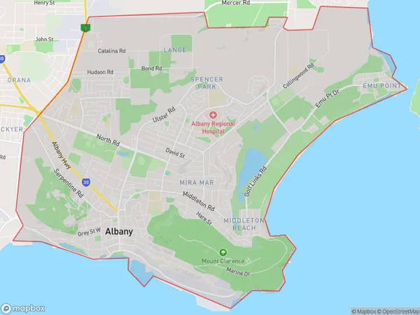
Emu Point, Albany, Albany, Western Australia - Wheat Belt, Western Australia, Australia, 6330
Emu Point Postcode
Area Name
Emu PointEmu Point Suburb Area Map (Polygon)
Emu Point Introduction
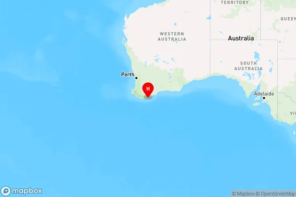
Emu Point is a town in the Wheat Belt region of Western Australia, located 240 km southeast of Perth. It is known for its wheat farming and is home to the Emu Point Hotel. The town has a population of around 1,000 people and is a popular destination for tourists and locals alike.State Name
City or Big Region
District or Regional Area
Suburb Name
Emu Point Region Map
Country
Main Region in AU
R3Coordinates
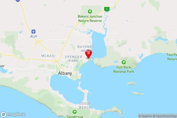
-34.9977653,117.9383683 (latitude/longitude)Emu Point Area Map (Street)
Longitude
117.863286Latitude
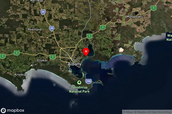
-34.905438Emu Point Suburb Map (Satellite)
Distances
The distance from Emu Point, Western Australia - Wheat Belt, WA to AU Greater Capital CitiesSA1 Code 2011
50901122513SA1 Code 2016
50901122513SA2 Code
509011225SA3 Code
50901SA4 Code
509RA 2011
3RA 2016
3MMM 2015
3MMM 2019
3Charge Zone
W2LGA Region
AlbanyLGA Code
50080Electorate
Forrest