Bobalong Area, Bobalong Postcode(6320) & Map in Bobalong, Western Australia - Wheat Belt, WA
Bobalong Area, Bobalong Postcode(6320) & Map in Bobalong, Western Australia - Wheat Belt, WA, AU, Postcode: 6320
Bobalong, Kojonup, Albany, Western Australia - Wheat Belt, Western Australia, Australia, 6320
Bobalong Postcode
Area Name
BobalongBobalong Suburb Area Map (Polygon)

Bobalong Introduction
Bobalong is a town in the Wheat Belt region of Western Australia, located 280 km southeast of Perth. It is known for its wheat and sheep farming, and has a population of around 1,000 people. The town has a primary school, a general store, and a hotel.State Name
City or Big Region
District or Regional Area
Suburb Name
Bobalong Region Map

Country
Main Region in AU
R3Coordinates
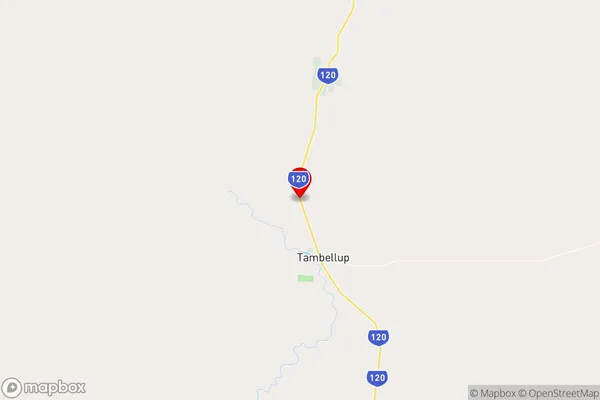
-34.0095385,117.6255648 (latitude/longitude)Bobalong Area Map (Street)
Longitude
117.717905Latitude
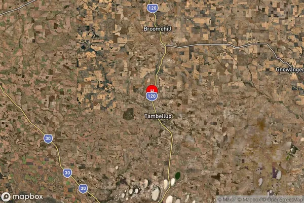
-34.096397Bobalong Suburb Map (Satellite)
Distances
The distance from Bobalong, Western Australia - Wheat Belt, WA to AU Greater Capital CitiesSA1 Code 2011
50901123105SA1 Code 2016
50901123105SA2 Code
509011231SA3 Code
50901SA4 Code
509RA 2011
3RA 2016
3MMM 2015
5MMM 2019
5Charge Zone
W2LGA Region
Broomehill-TambellupLGA Code
51080Electorate
Durack