Kingscote Area, Kingscote Postcode(5223) & Map in Kingscote, South Australia - South East, SA
Kingscote Area, Kingscote Postcode(5223) & Map in Kingscote, South Australia - South East, SA, AU, Postcode: 5223
Kingscote, Kangaroo Island, Fleurieu - Kangaroo Island, South Australia - South East, South Australia, Australia, 5223
Kingscote Postcode
Area Name
KingscoteKingscote Suburb Area Map (Polygon)
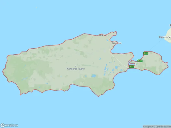
Kingscote Introduction
Kingscote is a town in South Australia, located on the south coast of the state. It is known for its beautiful beaches, including the popular Vivonne Bay Beach. The town is also home to a number of wineries and restaurants.State Name
City or Big Region
District or Regional Area
Suburb Name
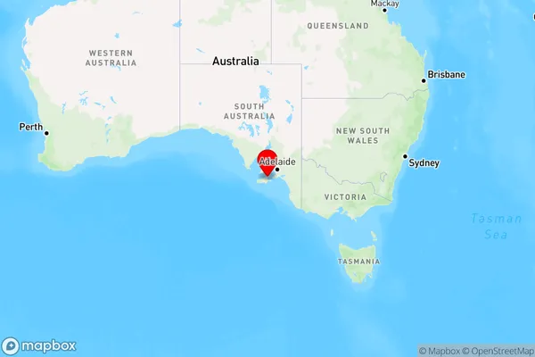
Kingscote Region Map
Country
Main Region in AU
R3Coordinates
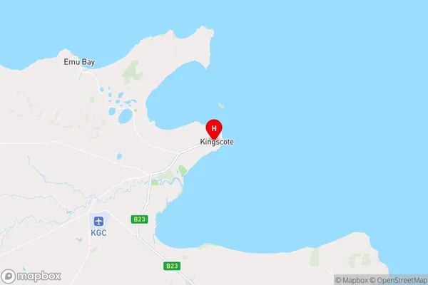
-35.6530887,137.6339695 (latitude/longitude)Kingscote Area Map (Street)
Longitude
137.541715Latitude
-35.811358Kingscote Elevation
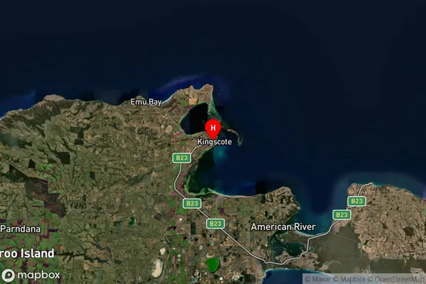
about 8.72 meters height above sea level (Altitude)Kingscote Suburb Map (Satellite)
Distances
The distance from Kingscote, South Australia - South East, SA to AU Greater Capital CitiesSA1 Code 2011
40701114505SA1 Code 2016
40701114505SA2 Code
407011145SA3 Code
40701SA4 Code
407RA 2011
4RA 2016
4MMM 2015
7MMM 2019
7Charge Zone
S2LGA Region
Kangaroo IslandLGA Code
42750Electorate
Mayo