Coorong Area, Coorong Postcode(5264) & Map in Coorong, South Australia - South East, SA
Coorong Area, Coorong Postcode(5264) & Map in Coorong, South Australia - South East, SA, AU, Postcode: 5264
Coorong, The Coorong, Murray and Mallee, South Australia - South East, South Australia, Australia, 5264
Coorong Postcode
Area Name
CoorongCoorong Suburb Area Map (Polygon)
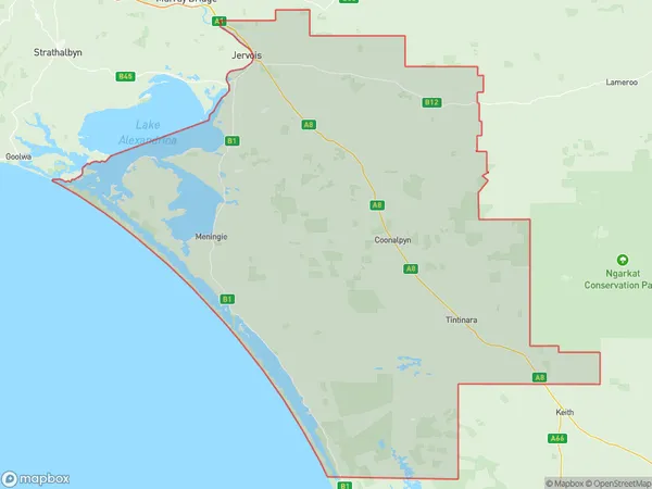
Coorong Introduction
Coorong, South Australia, is a coastal town in the South East of the state. It is known for its beautiful beaches, wildlife, and fishing. The town is also home to the Coorong National Park, which is a UNESCO World Heritage Site.State Name
City or Big Region
District or Regional Area
Suburb Name
Coorong Region Map
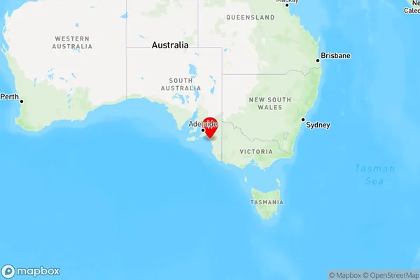
Country
Main Region in AU
R3Coordinates
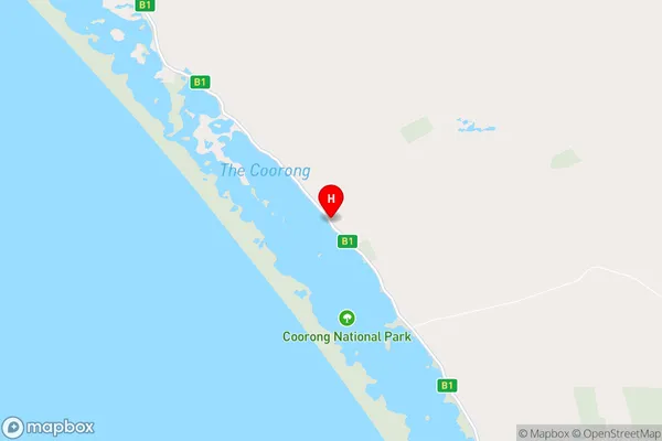
-35.9442511,139.4983605 (latitude/longitude)Coorong Area Map (Street)
Longitude
139.275737Latitude
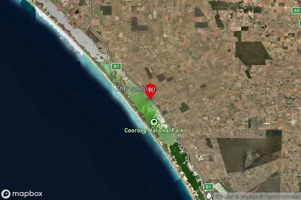
-35.6699470Coorong Suburb Map (Satellite)
Distances
The distance from Coorong, South Australia - South East, SA to AU Greater Capital CitiesSA1 Code 2011
40703116903SA1 Code 2016
40703116903SA2 Code
407031169SA3 Code
40703SA4 Code
407RA 2011
3RA 2016
3MMM 2015
5MMM 2019
5Charge Zone
S2LGA Region
CoorongLGA Code
47800Electorate
Barker