Langhorne Creek Area, Langhorne Creek Postcode(5255) & Map in Langhorne Creek, South Australia - South East, SA
Langhorne Creek Area, Langhorne Creek Postcode(5255) & Map in Langhorne Creek, South Australia - South East, SA, AU, Postcode: 5255
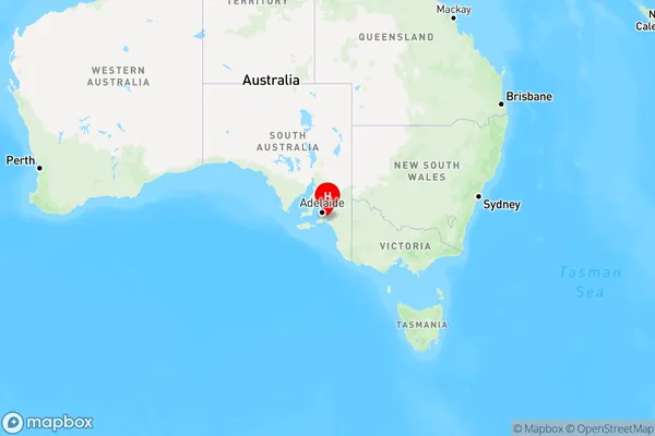
Langhorne Creek, Strathalbyn Region, Fleurieu - Kangaroo Island, South Australia - South East, South Australia, Australia, 5255
Langhorne Creek Postcode
Area Name
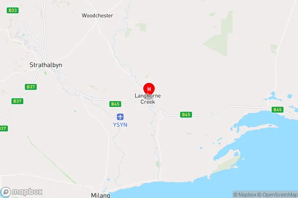
Langhorne CreekLanghorne Creek Suburb Area Map (Polygon)

Langhorne Creek Introduction
Langhorne Creek is a town in South Australia, located in the South East region. It is known for its wine production, with many wineries and vineyards in the area. The town is also home to a number of historic buildings and landmarks, including the Langhorne Creek Hotel and the Langhorne Creek Railway Station.State Name
City or Big Region
District or Regional Area
Suburb Name
Langhorne Creek Region Map
Country
Main Region in AU
R3Coordinates
-35.2962556,139.038277 (latitude/longitude)Langhorne Creek Area Map (Street)
Longitude
138.975861Latitude
-35.248539Langhorne Creek Elevation
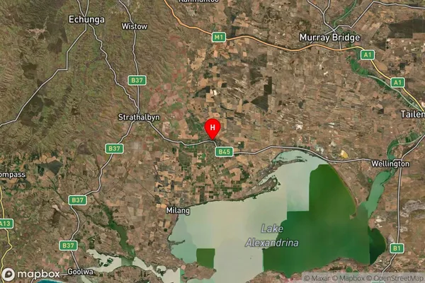
about 52.06 meters height above sea level (Altitude)Langhorne Creek Suburb Map (Satellite)
Distances
The distance from Langhorne Creek, South Australia - South East, SA to AU Greater Capital CitiesSA1 Code 2011
40701114704SA1 Code 2016
40701114704SA2 Code
407011147SA3 Code
40701SA4 Code
407RA 2011
2RA 2016
2MMM 2015
5MMM 2019
5Charge Zone
S2LGA Region
AlexandrinaLGA Code
40220Electorate
Mayo