Woodside Area, Woodside Postcode(5244) & Map in Woodside, Adelaide - Central and Hills, SA
Woodside Area, Woodside Postcode(5244) & Map in Woodside, Adelaide - Central and Hills, SA, AU, Postcode: 5244
Woodside, Lobethal - Woodside, Adelaide Hills, Adelaide - Central and Hills, South Australia, Australia, 5244
Woodside Postcode
Area Name
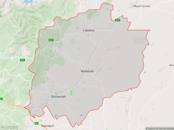
WoodsideWoodside Suburb Area Map (Polygon)
Woodside Introduction
Woodside is a suburb of Adelaide, South Australia, located in the City of Tea Tree Gully. It is known for its natural beauty, including the Woodside Wildlife Park and the Cleland Conservation Park. The suburb has a population of approximately 10,000 people and is home to a variety of businesses and amenities, including schools, shopping centers, and healthcare facilities.State Name
City or Big Region
District or Regional Area
Suburb Name
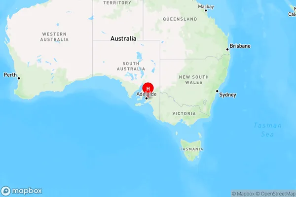
Woodside Region Map
Country
Main Region in AU
R2Coordinates
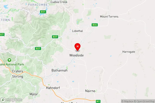
-34.9502898,138.8759289 (latitude/longitude)Woodside Area Map (Street)
Longitude
138.946384Latitude
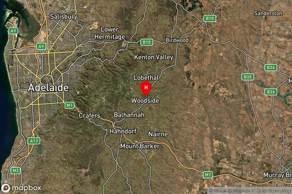
-34.938664Woodside Suburb Map (Satellite)
Distances
The distance from Woodside, Adelaide - Central and Hills, SA to AU Greater Capital CitiesSA1 Code 2011
40102100608SA1 Code 2016
40102100608SA2 Code
401021006SA3 Code
40102SA4 Code
401RA 2011
2RA 2016
2MMM 2015
2MMM 2019
2Charge Zone
S2LGA Region
Adelaide HillsLGA Code
40120Electorate
Mayo