Townsville Area, Townsville Postcode(4810) & Map in Townsville, Townsville, QLD
Townsville Area, Townsville Postcode(4810) & Map in Townsville, Townsville, QLD, AU, Postcode: 4810
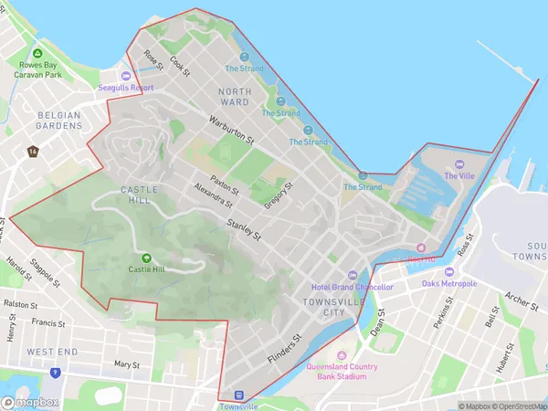
Townsville, Townsville City - North Ward, Townsville, Townsville, Queensland, Australia, 4810
Townsville Postcode
Area Name
TownsvilleTownsville Suburb Area Map (Polygon)
Townsville Introduction
Townsville is a city in Queensland, Australia, located on the coast of the Coral Sea. It is the largest city in North Queensland and is known for its tropical climate, beaches, and attractions such as The Strand, Magnetic Island, and Castle Hill.State Name
City or Big Region
District or Regional Area
Suburb Name
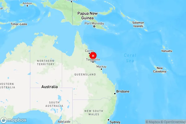
Townsville Region Map
Country
Main Region in AU
R3Coordinates
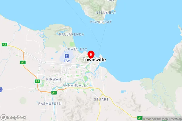
-19.2589635,146.8169483 (latitude/longitude)Townsville Area Map (Street)
Longitude
146.764659Latitude
-19.227783Townsville Elevation
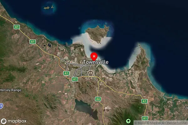
about 7.23 meters height above sea level (Altitude)Townsville Suburb Map (Satellite)
Distances
The distance from Townsville, Townsville, QLD to AU Greater Capital CitiesSA1 Code 2011
31802149012SA1 Code 2016
31802149012SA2 Code
318021490SA3 Code
31802SA4 Code
318RA 2011
3RA 2016
3MMM 2015
2MMM 2019
2Charge Zone
Q4LGA Region
TownsvilleLGA Code
37010Electorate
Herbert