Modanville Area, Modanville Postcode(2480) & Map in Modanville, Richmond - Tweed, NSW
Modanville Area, Modanville Postcode(2480) & Map in Modanville, Richmond - Tweed, NSW, AU, Postcode: 2480
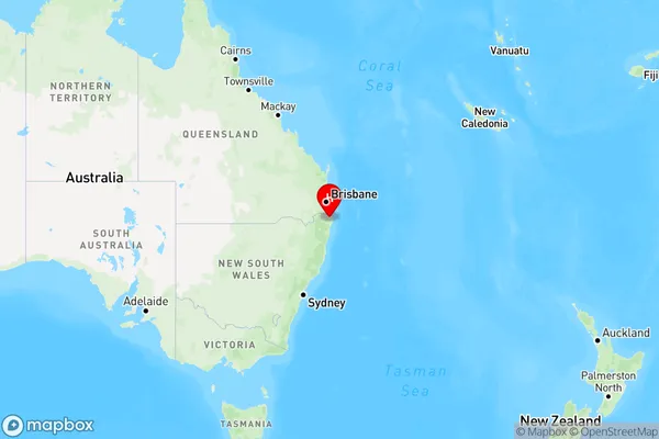
Modanville, Lismore Region, Richmond Valley - Hinterland, Richmond - Tweed, New South Wales, Australia, 2480
Modanville Postcode
Area Name
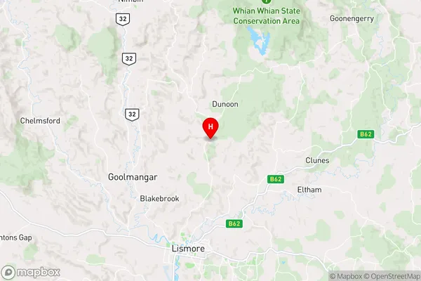
ModanvilleModanville Suburb Area Map (Polygon)

Modanville Introduction
Modanville is a suburb in the City of Richmond-Tweed in New South Wales, Australia. It is located 56 kilometers (35 miles) north of the state capital, Sydney. The suburb is named after the Modanville railway station, which was opened on 1 October 1889. The station was closed on 1 January 1974.State Name
City or Big Region
District or Regional Area
Suburb Name
Modanville Region Map
Country
Main Region in AU
R3Coordinates
-28.715278,153.301111 (latitude/longitude)Modanville Area Map (Street)
Longitude
153.25943Latitude
-28.706486Modanville Elevation
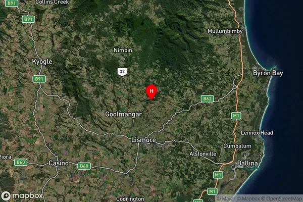
about 17.78 meters height above sea level (Altitude)Modanville Suburb Map (Satellite)
Distances
The distance from Modanville, Richmond - Tweed, NSW to AU Greater Capital CitiesSA1 Code 2011
11202124901SA1 Code 2016
11202124901SA2 Code
112021249SA3 Code
11202SA4 Code
112RA 2011
2RA 2016
2MMM 2015
3MMM 2019
3Charge Zone
N2LGA Region
LismoreLGA Code
14850Electorate
Richmond