Sturt Street Area, Sturt Street Postcode(5000) & Map in Sturt Street, Adelaide - Central and Hills, SA
Sturt Street Area, Sturt Street Postcode(5000) & Map in Sturt Street, Adelaide - Central and Hills, SA, AU, Postcode: 5000
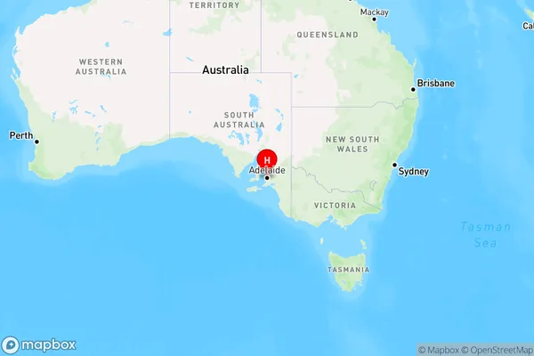
Sturt Street, Adelaide, Adelaide City, Adelaide - Central and Hills, South Australia, Australia, 5000
Sturt Street Postcode
Area Name
Sturt StreetSturt Street Suburb Area Map (Polygon)

Sturt Street Introduction
Sturt Street is a major thoroughfare in Adelaide, South Australia, running through the city's central business district and the suburbs of North Adelaide, Prospect, and Walkerville. It is named after Charles Sturt, an explorer who discovered the Murray River. The street is lined with shops, restaurants, and hotels and is a popular destination for tourists and locals alike.State Name
City or Big Region
District or Regional Area
Suburb Name
Sturt Street Region Map
Country
Main Region in AU
R2Coordinates
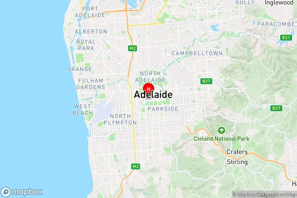
-34.933324,138.5935458 (latitude/longitude)Sturt Street Area Map (Street)
Longitude
138.608637Latitude
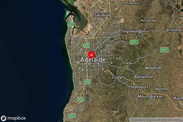
-34.937459Sturt Street Suburb Map (Satellite)
Distances
The distance from Sturt Street, Adelaide - Central and Hills, SA to AU Greater Capital CitiesSA1 Code 2011
40101100116SA1 Code 2016
40101100116SA2 Code
401011001SA3 Code
40101SA4 Code
401RA 2011
1RA 2016
1MMM 2015
1MMM 2019
1Charge Zone
S1LGA Region
AdelaideLGA Code
40070Electorate
Adelaide