St Marys Area, St Marys Postcode(5042) & Map in St Marys, Adelaide - South, SA
St Marys Area, St Marys Postcode(5042) & Map in St Marys, Adelaide - South, SA, AU, Postcode: 5042
St Marys, Panorama, Mitcham, Adelaide - South, South Australia, Australia, 5042
St Marys Postcode
Area Name
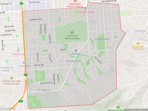
St MarysSt Marys Suburb Area Map (Polygon)

St Marys Introduction
St Marys is a suburb of Adelaide in South Australia. It is located in the City of Charles Sturt and is bordered by Port Road, King William Road, and the Marion Shopping Centre. The suburb has a rich history and was named after St Mary of the Angels, a Catholic church that was built in the area in 1858. It is home to a variety of shops, restaurants, and parks, and is popular with families and young professionals.State Name
City or Big Region
District or Regional Area
Suburb Name
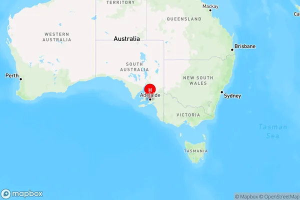
St Marys Region Map

Country
Main Region in AU
R2Coordinates
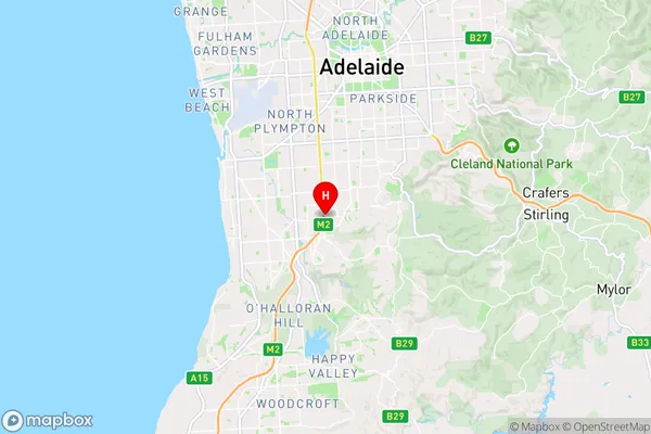
-35.006,138.577 (latitude/longitude)St Marys Area Map (Street)

Longitude
138.575023Latitude
-35.007341St Marys Elevation
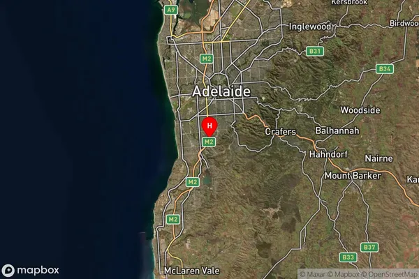
about 52.67 meters height above sea level (Altitude)St Marys Suburb Map (Satellite)

Distances
The distance from St Marys, Adelaide - South, SA to AU Greater Capital CitiesSA1 Code 2011
40303107003SA1 Code 2016
40303107003SA2 Code
403031070SA3 Code
40303SA4 Code
403RA 2011
1RA 2016
1MMM 2015
1MMM 2019
1Charge Zone
S1LGA Region
MarionLGA Code
44060Electorate
Boothby